
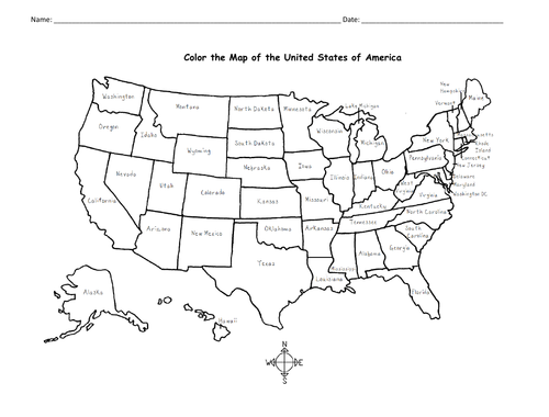
This printable handout includes a map of the United States to color and learn. Crayons or colored pencils are needed for this activity. No other prep needed.
Get this resource as part of a bundle and save up to 50%
A bundle is a package of resources grouped together to teach a particular topic, or a series of lessons, in one place.
Bundle
New York / Long Island / Northeast Region - Printable Handouts
Learn about New York with this bundle of printable Geography handouts: 1. New York: 2 worksheets (plus answer key). Your students will read a brief overview of New York (location, capital, state bird, state flower, abbreviation), write 'Albany' next to the star on the map to show the capital of New York, color a small map and then use the map and compass to answer 8 questions. 2. Long Island: 2 worksheets (plus answer key). Your students will read a brief overview of Long Island, color a small map, and use the map and compass to answer 8 questions. Map includes Suffolk County, Nassau County, Queens and Brooklyn, separated by the Bronx and Manhattan by the East River. Atlantic Ocean, Long Island Sound, Hudson River, The Hamptons, North Fork, South Fork, Montauk. 3. Northeastern Region of the United States: 2 worksheets (plus answer key). This list includes 11 states: The states of New England: Maine (ME), New Hampshire (NH), Vermont (VT), Massachusetts (MA), Rhode Island (RI), and Connecticut (CT), and the Middle States: New York (NY), Pennsylvania (PA), New Jersey (NJ) and Delaware (DE). Your students will write the full name of each state on the map, then color the six states of New England one color and the middle states another color. Then they will use the map and compass to answer six questions. 4. Color the map of the United States: 1 printable handout with map to color. For use with Interactive Notebooks: After the handout is completed and the map is colored and questions are answered, cut out the map and paste it into the notebook under the topic of United States / sub-topic New York. Under the map, students will write a summary in their own words of what they now know about the state/region.
$3.00
Bundle
50 States of the USA
Can your students name all 50 states of the United States of America? This bundle includes a printable map of the United States to color and learn; a printable map where your students will write the name of each state on the map, a printable worksheet where your students will fill in the blank letters for each US State, and a Word Search Puzzle where your students will find all 50 states in the puzzle and then write the leftover letters to spell out a fun-fact about the United States. (The 'fun fact' from the leftover letters will read: The longest boardwalk in the world is located in the United States in New Jersey in Atlantic City.) Also included is a blank State Fact Sheet that your students can use to research a specific state. The Pledge of Allegiance worksheet to match the word to the definition (pledge, allegiance, republic, indivisible, liberty, justice). Thank you so much for using my printable worksheets in your classroom!
$3.00
Something went wrong, please try again later.
Thanks for this free resource!
Report this resourceto let us know if it violates our terms and conditions.
Our customer service team will review your report and will be in touch.
$0.00