

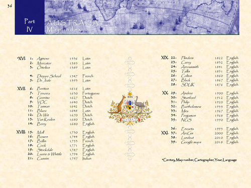
Australia in 39 historical maps: 1547-2018 (124 pages).
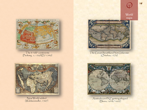
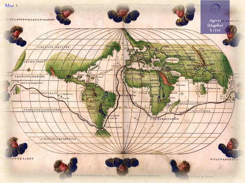
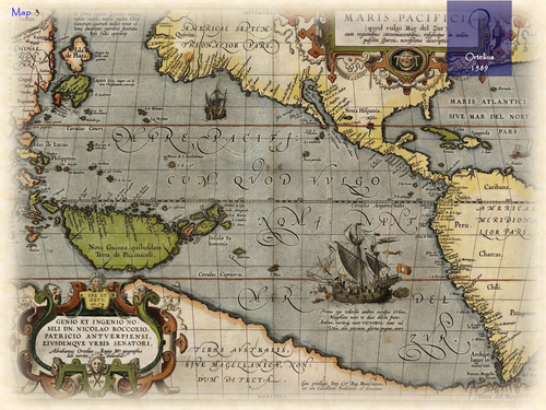
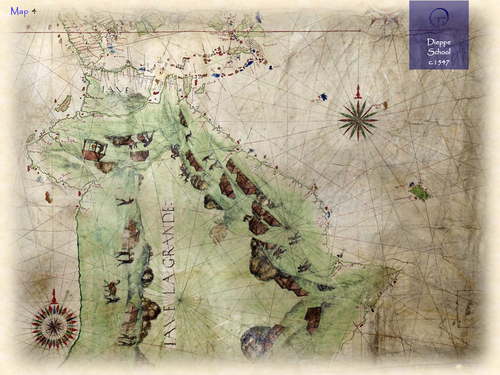
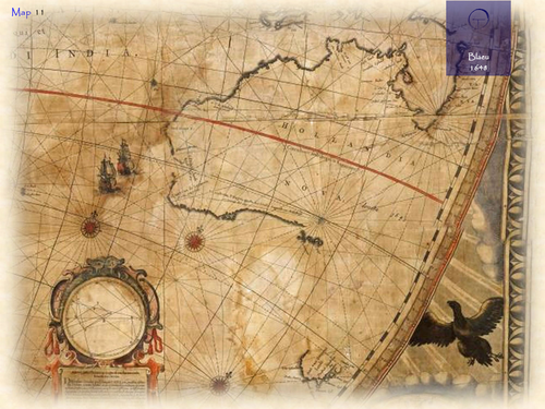
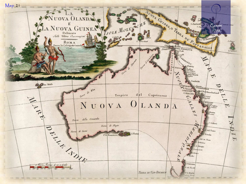
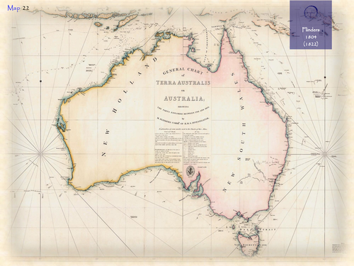
The name Australia is adapted from the Latin name Terra Australis Incognita, meaning the “Unknown Southern Land”. The name was used on 16th century world maps, e.g. the ones of Mercator and Ortelius, to identify a large imaginary landmass stretching around the south pole. The present day country and continent became officially known as Australia in 1824, after the British explorer Matthew Flinders had circumnavigated the island 20 years earlier and introduced the name in his charts and publications. Before this, the Latin name Hollandia Nova (New Holland) was mostly used to identify present day Australia. The name was introduced by Dutch explorers who had discovered the West coast in the early 17th century. It appeared - for the first time - on the large world map of the Blaeu firm in 1648, and later in their printed Atlas Maior from 1662 onwards.
Something went wrong, please try again later.
This resource hasn't been reviewed yet
To ensure quality for our reviews, only customers who have purchased this resource can review it
Report this resourceto let us know if it violates our terms and conditions.
Our customer service team will review your report and will be in touch.
£3.90