

France in 46 historical maps: 1375-2018 (138 pages).
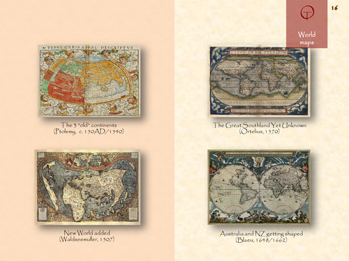
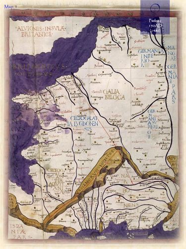
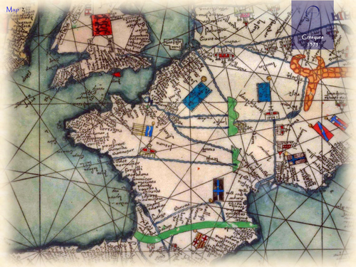
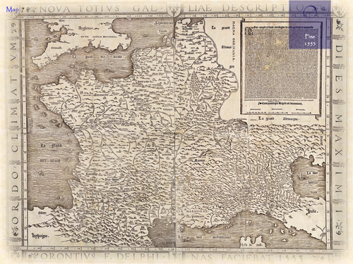
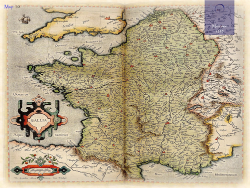
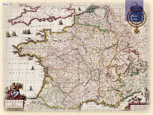
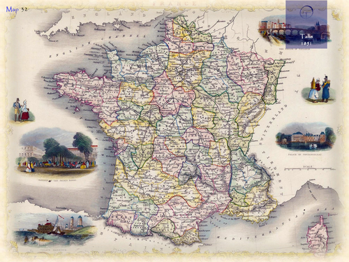
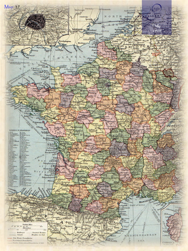
The name France refers to Land of the Franks. The name means “Land of the free People”. The name may also be derived from the word frankon (spear), one of the weapons used by its warriors. On earlier maps the Latin name Gallia (Land of the Celts) or Gaul (Land of Foreigners) was used; during the 17th century the name Francia came into use. In the oldest classical descriptions (e.g. Strabo, ca. 20BC) the name Celtica is used to identify the region covering present-day France. France was also described by Ptolemy in his Geographia (150AD). The accompanying maps were worked out again by European cartographers at the end of the 15th century. Its coastline is depicted more accurate on the Portolan charts of the late middle ages, when the Mediterranean region was a centre for navigation and trade. The first printed separate maps of France appeared in the early 16th century.
Something went wrong, please try again later.
This resource hasn't been reviewed yet
To ensure quality for our reviews, only customers who have purchased this resource can review it
Report this resourceto let us know if it violates our terms and conditions.
Our customer service team will review your report and will be in touch.
£4.60