

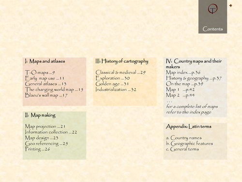

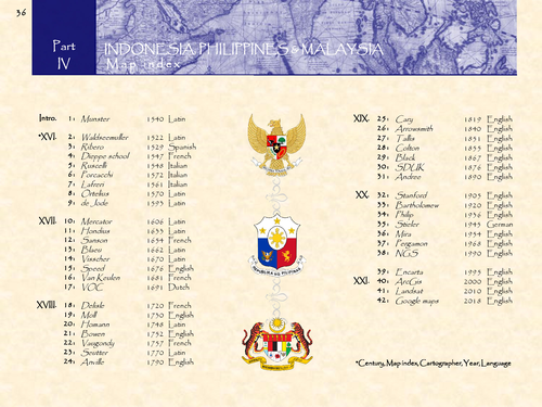
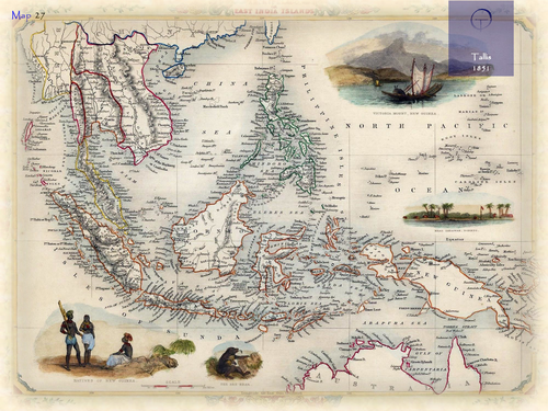
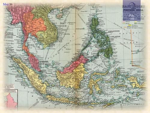
Indonesia, Philippines and Malaysia in 42 historical maps: 1522-2018 (132 pages).
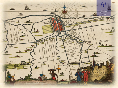
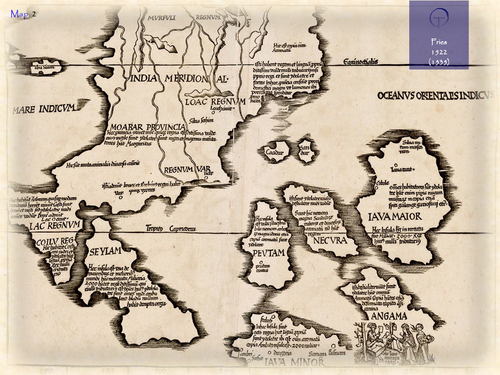
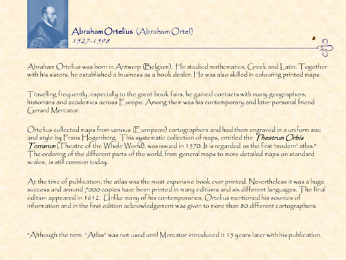
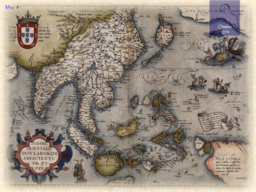
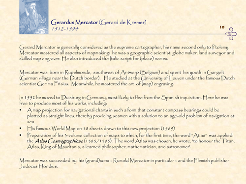
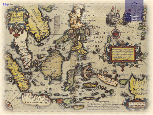
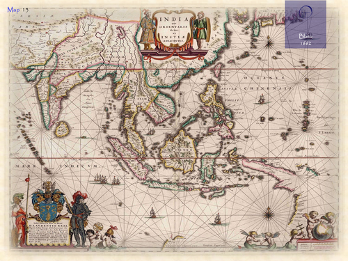
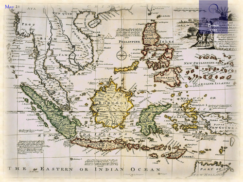
Indonesia is a former Dutch colony. Its name came into use after their independence in 1945. The name means Indian Islands. Before that the name Nederlands Oost-Indië (Dutch East Indies or short East Indies) was used on maps. Malaysia is a former British colony. The name is a combination of two Tamil/Sanskrit words meaning “hilltown”. The name came into use when several Indian Kingdoms entered present-day Malaysia dating back to the 3rd century. The Latin suffix ‘–sia’ was later added. The Philippines are a former Spanish colony. The name refers to King Philip II of Spain. The name appeared for the first time on maps at the end of the 16th century. The first separately printed maps of both groups of islands were published in the early 16th century by Italian cartographers. More detailed maps were made in the midst of the 17th century by Dutch explorers and mapmakers (VOC).
Something went wrong, please try again later.
This resource hasn't been reviewed yet
To ensure quality for our reviews, only customers who have purchased this resource can review it
Report this resourceto let us know if it violates our terms and conditions.
Our customer service team will review your report and will be in touch.
£4.20