

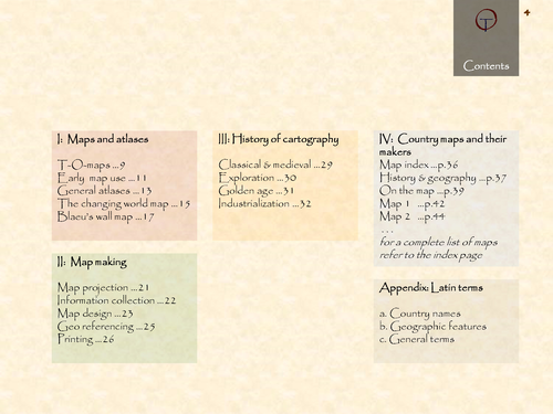

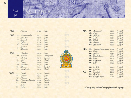
Sri Lanka in 42 historical maps: 1480-2018 (130 pages).
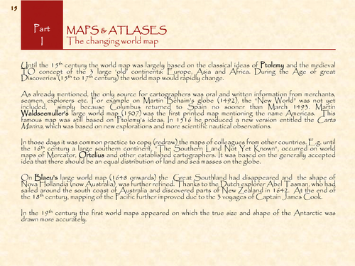
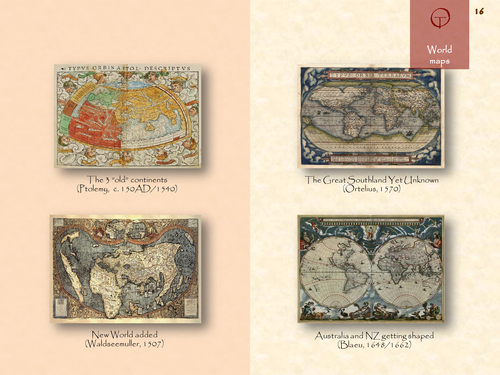
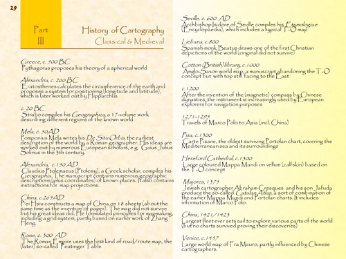
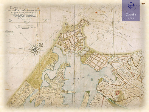
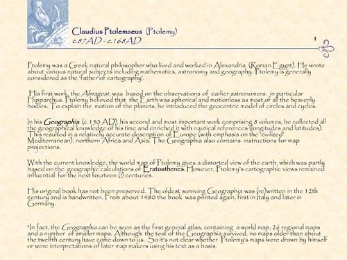
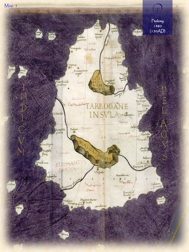
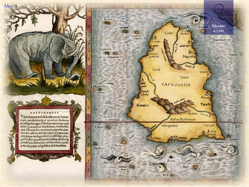
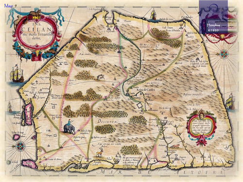
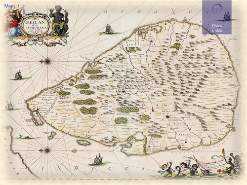
The name Sri Lanka means “Holy Island” (from Sanskrit). Its former name is Ceylon, from Ceilão (Portuguese) and Zeilan (Dutch). It probably refers to “land of the lions”. On classical maps, based on Ptolemy’s writings, it was called Taprobana. This refers to “the island of King Rawana”. In the 16th and 17th century numerous separate maps appeared based on information of Dutch and Portuguese explorers. The capital city Colombo became an important harbour through the establishment of trading posts by Dutch, Portuguese and British colonists.
Something went wrong, please try again later.
This resource hasn't been reviewed yet
To ensure quality for our reviews, only customers who have purchased this resource can review it
Report this resourceto let us know if it violates our terms and conditions.
Our customer service team will review your report and will be in touch.
£4.20