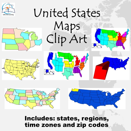


United States Map Clip Art. STUNNING maps of the United States, Regions, Time Zones, and Zip Codes for classroom learning activities.
This MEGA PACK contains 134 high-quality COLOR U.S. Maps Clip Art images. Images saved at 300dpi in PNG files.
This U.S. Maps Clip Art set includes:
All 50 States (two different images for each state - one image is highlighted and the other is extra-dimensional) - (no labels), regions (no labels), time zones (no labels), and U.S. maps (no labels), and zip codes (no labels), Midwest, Mid-Atlantic, U.S. rivers, Rocky Mountains, Southwest, West Coast, and more...
These United States Map graphics are PERFECT for making teaching resources, worksheets, school projects, and more!
TERMS OF USE:
Personal or commercial use. Copyright remains with Little Tots Learning.
If you are interested in business or personal clip art, please contact me at littletotslearning1160@gmail.com.
This is intended for use by one teacher in one classroom. It is not to be redistributed to an entire school or district. It may not be redistributed or sold online or other.
Enjoy!
Thanks for taking the time to stop by my store!
Ms. Blajic
Little Tots Learning
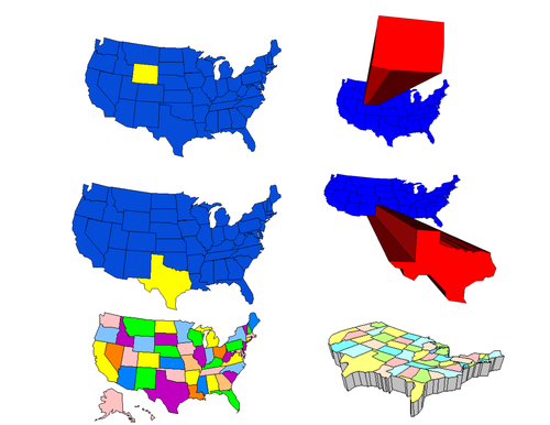
Something went wrong, please try again later.
This resource hasn't been reviewed yet
To ensure quality for our reviews, only customers who have purchased this resource can review it
Report this resourceto let us know if it violates our terms and conditions.
Our customer service team will review your report and will be in touch.
$4.25