
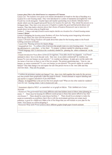
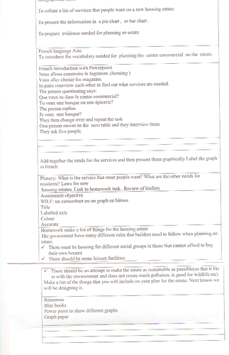
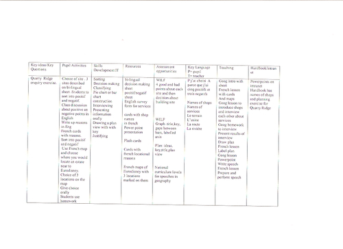
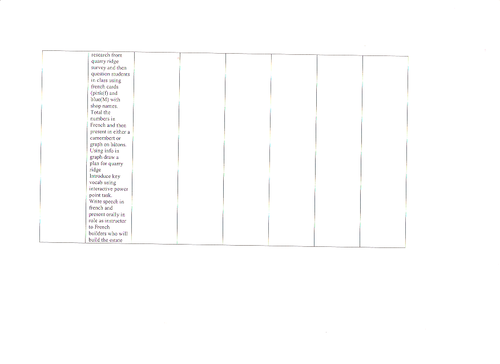
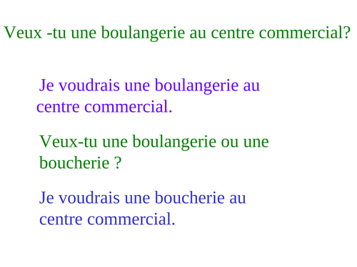
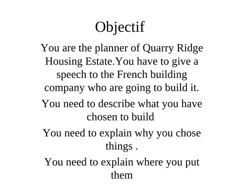
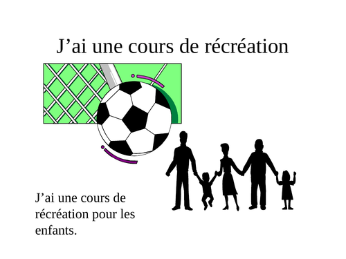
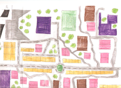
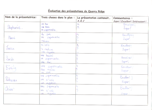
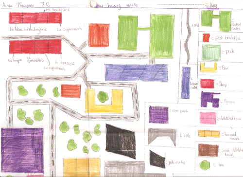
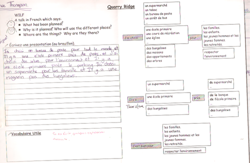
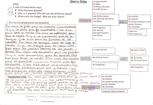
This lesson takes a fictitious settlement and looks at locating it in the best possible position . This can take up to 3 lessons as the students , decide on location, then look at the amenities that they need. They question each other in french to find the best amenities. they then draw a plan view of the settlement which uses mapping skills. Then they explain why they have chosen site and the amenities. There is a wrting frame to support with writing in French.
As this was a module near the beginning of the course there are some instructions in English. However when delivering the teacher would use French and point to the english at the same time so that students became used to the unit vocabulary.
Something went wrong, please try again later.
This resource hasn't been reviewed yet
To ensure quality for our reviews, only customers who have downloaded this resource can review it
Report this resourceto let us know if it violates our terms and conditions.
Our customer service team will review your report and will be in touch.
£0.00