
This is a full 1 hour lesson that introduces the area around the Emirates Stadium in London using Ordinance Survey Maps (included) as the second lesson of a ‘Geography of Sport’ unit at KS3. It is also part of a bundle pack available in my shop.
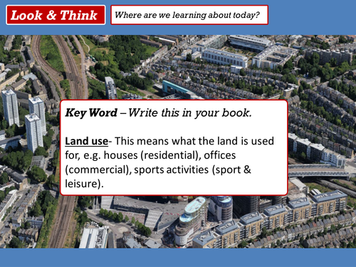
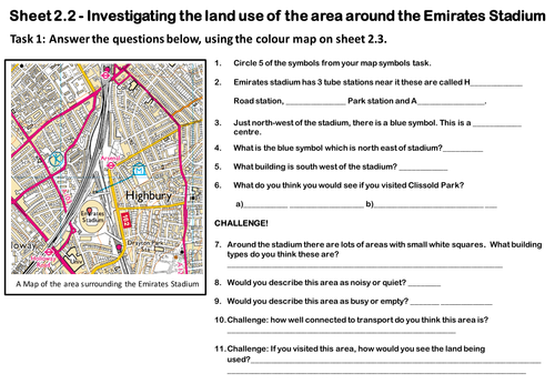
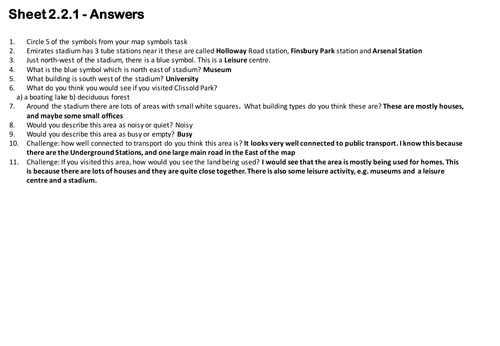
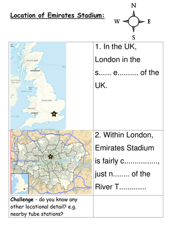
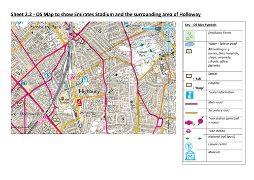
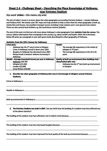
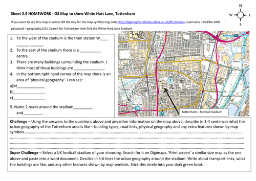
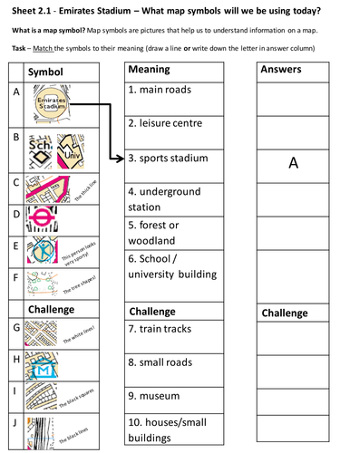
Learning Outcome 1 – ‘I can find out where the Emirates
Stadium is and analyse the human geography in the surrounding area by using map symbols.
In the lesson we look at:
-Sport
-Map skills (key focus)
-Geography of place and space
-Key geographical terms
Ease of use is the aim, so the lesson includes a compact presentation with instructions and guidance in the notes section below each slide, it also includes handouts with printing instructions and is of course, proof read. There are also a differentiated sheets for higher and lower level students included.
Please feel free to leave a review :)
Happy teaching!
Get this resource as part of a bundle and save up to 0%
A bundle is a package of resources grouped together to teach a particular topic, or a series of lessons, in one place.
Something went wrong, please try again later.
This resource hasn't been reviewed yet
To ensure quality for our reviews, only customers who have purchased this resource can review it
Report this resourceto let us know if it violates our terms and conditions.
Our customer service team will review your report and will be in touch.
£3.99