

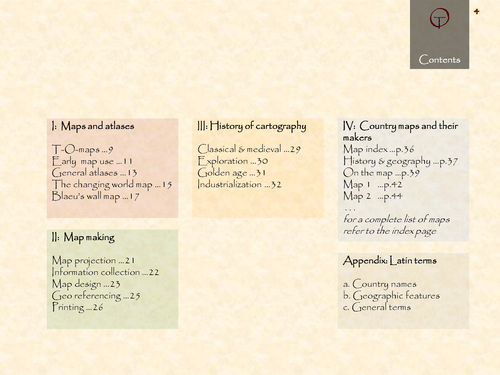
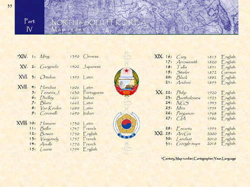
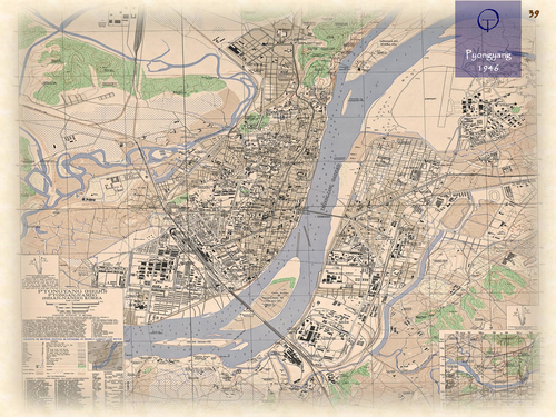
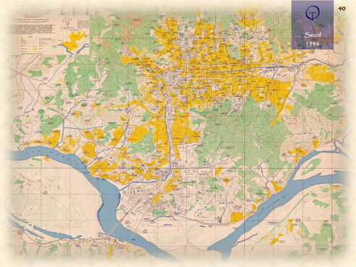
North- and South-Korea in 31 historical maps: 1402-2018 (108 pages).
Korea refers to Gaoli, Marco Polo’s Italian rendition of Gāo Lì, the Chinese name for Goryeo, which had named itself after the earlier Goguryeo. The original name was a combination of the adjective go (meaning "lofty“) and a local Yemaek tribe, whose original name is thought to have been either Guru (“walled city”) or Gauri (“centre”). After the Korean war the peninsula Korea was divided into North- and South-Korea. First from 1945 along the 38th parallel and since 1953, along the demarcation line. South Koreans call Korea Hanguk, from Samhan. North Koreans call it Chosŏn from Gojoseon.
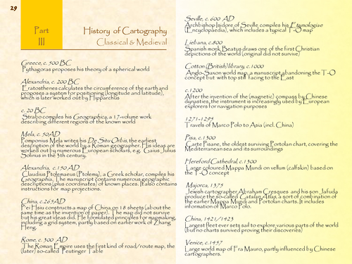
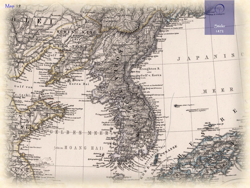
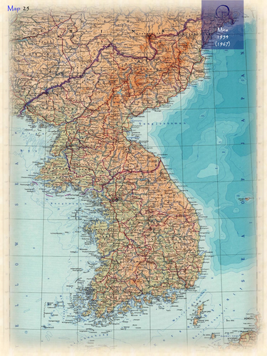
NOTE: Apart from the Ming map (1390) and Gangnido map (1402/1560), all maps included in this atlas are made by European and American cartographers and therefor do represent a Western view of both countries.
Something went wrong, please try again later.
This resource hasn't been reviewed yet
To ensure quality for our reviews, only customers who have purchased this resource can review it
Report this resourceto let us know if it violates our terms and conditions.
Our customer service team will review your report and will be in touch.
£3.10