
Any income from this resource will go to Homeless Charities in the UK
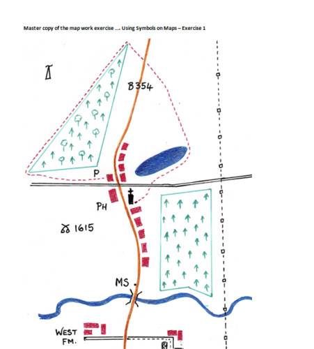
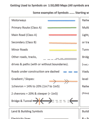
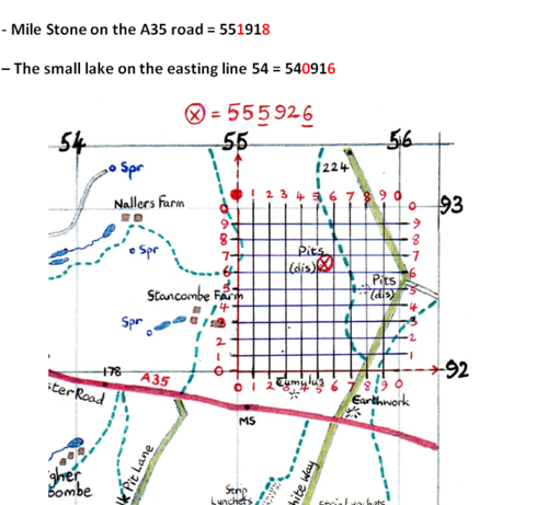
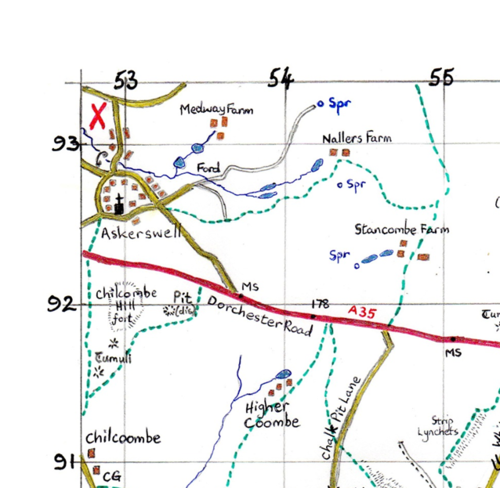
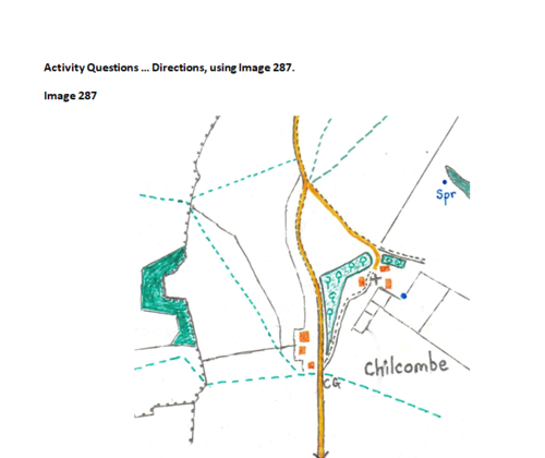
A selection of basic skills for learning about maps. Topics covered include: Use of symbols, Directions and Bearings, Grid References, Contours, Scales and Distances on maps.
This resource offers introduction to map skills and gives the opportunity for students to complete work challenges. This resource unit is best suited to students from 10 years through to 16 years of age.*
Something went wrong, please try again later.
Thank you for sharing your resource. This resource has been recommended for teachers by the TES Resource Team.
Report this resourceto let us know if it violates our terms and conditions.
Our customer service team will review your report and will be in touch.
$4.00