
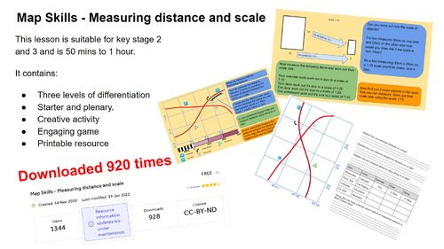
This map symbol lesson has been downloaded over 920 times
Measuring distance on a map and scale lesson - This map skills lesson is about how students can work out distances on a map by estimating, a ruler or string. It is suitable for higher ability key stage 2 students and Key stage 3. The lesson takes 50 mins to 1 hour.
This map skills lesson about measuring distance with activities for the students to practice their new skills. Within the presentation are all the printable material to support this lesson
This lesson includes
- Starter and plenary
- Embedded videos
- Differentiation for different abilities
- Worksheet and resources for printing
Visit www.easygeography.co.uk to download this and 100’s of other Geography lessons
Something went wrong, please try again later.
This resource hasn't been reviewed yet
To ensure quality for our reviews, only customers who have purchased this resource can review it
Report this resourceto let us know if it violates our terms and conditions.
Our customer service team will review your report and will be in touch.
£3.00