Exploring North America: Reading height on maps (2 lessons)Quick View
TheGeoEducatorTheGeoEducator

Exploring North America: Reading height on maps (2 lessons)

(0)
These two lessons aim to develop basic geographical skills in year 7 students. It introduces the continent of North America, its physical features and introduces students to how we read height on maps. • Focus on North America as one of the seven continents. • Identify and locate countries in North America • Explore the physical features of North America, such as The Rocky Mountains and Mount St Helen’s. • Introduce and practice using contour lines, spot heights and layer shading.
Discovering South America: Grid references (2 lessons)Quick View
TheGeoEducatorTheGeoEducator

Discovering South America: Grid references (2 lessons)

(0)
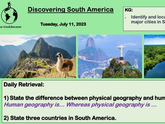
These two lessons aim to develop basic geographical skills in year 7 students. It introduces the continent of South America, its physical features and introduces students to four figure grid references. • Focus on South America as one of the seven continents. • Explore the physical features of South America, such as the Amazon Rainforest and the Andes Mountains. • Identify and locate countries and major cities in South America. • Introduce and practice using 4-figure grid references on a map of South America.
What is geography? (2 lessons)Quick View
TheGeoEducatorTheGeoEducator

What is geography? (2 lessons)

(0)
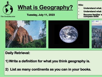
These first two lessons in my year 7 unit introduce students to geography. Many pupils arrive in secondary school having done very little geography in primary school and this unit aims to develop basic geographical skills, knowledge and concepts. These two lessons cover: Unveiling Geography’s Essence Journeying Across Continents - basic locational knowledge Exploring the UK Up Close - basic locational knowledge Navigating with Confidence - basic compass skills