 Quick View
Geography Skills 7 Accuracy Reliability Map Scale Distance Photo Direction and Conversions
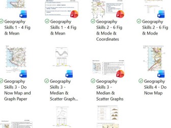
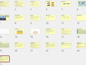
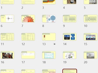
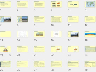
A complete geography skills lesson covering accuracy, reliability, map scale, straight-line distance, photo direction and geographical unit conversions. This lesson is ideal for the end of Year 9 once main content has been completed, but it would also work well for Year 8 cover, KS3 skills revision or low ability GCSE Geography intervention.
The lesson begins with retrieval practice before introducing the difference between accuracy and reliability in geography fieldwork. Students learn that accuracy is about how close data is to the true value, while reliability is about whether similar results can be repeated. The lesson also includes clear examples of how to improve accuracy and reliability in fieldwork answers.
Students then practise using map scales to calculate straight-line distance, including a simple divide-by-scale-bar method. The lesson also covers direction of photo questions, helping students understand that they need to identify the direction the camera was facing, not where the camera was from.
The final section includes formula rearranging and common geographical unit conversions, including mm, cm, m and km. The supporting worksheet includes exam-style practice using OS map extracts, photo direction, distance questions, fieldwork accuracy and plate movement calculations. :chatgpt-content-reference{index=“4”}
Included are a PowerPoint lesson and supporting exam-practice worksheet. The resource includes retrieval practice, worked examples, mini whiteboard tasks, stop and jot activities, map skills practice and exam-style questions.
Suitable for Year 8 Geography, Year 9 Geography, KS3 Geography skills, GCSE Geography intervention, low ability GCSE support, fieldwork skills, accuracy and reliability, map skills, scale and distance, photo direction, unit conversions, cover lessons and end of year geography lessons.