 Quick View
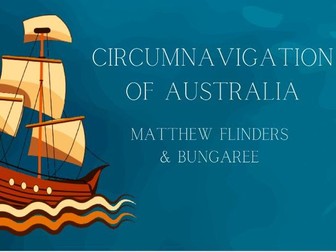
Circumnavigation of Australia | Flinders & Bungaree
Teach the journey of Australia’s first circumnavigation with this clear and visually engaging slide presentation featuring Matthew Flinders and Bungaree.
This resource provides a structured, chronological overview of the expedition, combining historical information with maps and visuals to support student understanding of key events, locations, and perspectives.
What’s included
20+ slide presentation
Key figures: Flinders and Bungaree
Maps tracing the journey around Australia
Key locations including Cape Leeuwin, Kangaroo Island and Port Phillip
Historical context and interactions with Aboriginal peoples
Perfect for
History and HASS lessons (Years 4–6)
Australian history units
Whole-class teaching
Inquiry-based learning
Key features
Clear, student-friendly language
Visually engaging slides with maps and images
Chronological structure to support understanding
Includes both European and Aboriginal perspectives
Example content
Overview of Flinders’ circumnavigation and mapping of Australia
The role of Bungaree as interpreter and guide
Key stops such as Kangaroo Island and Port Phillip
Challenges including ship damage and crew illness
Curriculum links
Aligned with Australian Curriculum (HASS/History), including exploration, colonisation, and historical perspectives.