 Quick View
Philippine & World Geography Maps – 6 Educational Classroom Posters
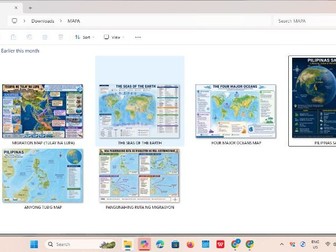
1. Migration Map: Tulay na Lupa – Human Migration and Land Bridges
Description:
An educational geography map showing major land bridges and migration routes that helped explain the movement of early peoples across regions. This visual resource can support lessons on human migration, geography, early settlement, and the relationship between physical geography and population movement.
2. The Seas of the Earth – World Geography Educational Map
Description:
A colorful world map identifying the major seas of the Earth. Designed as a visual reference for students learning about oceans, seas, continents, and global physical geography. Ideal for classroom displays, geography lessons, review activities, and map-reading exercises.
3. Four Major Oceans of the World – Geography Classroom Map
Description:
A student-friendly educational map introducing the four major oceans: Pacific Ocean, Atlantic Ocean, Indian Ocean, and Arctic Ocean. The map provides a clear visual reference for locating the world’s major oceans and understanding their positions in relation to continents.
4. Pilipinas sa Globo – Location, Sukat at Mahahalagang Detalye ng Pilipinas
Description:
An educational visual resource about the Philippines’ location on the globe. It presents important geographical information about the country, including its position, neighboring areas, physical setting, and selected geographical characteristics. An excellent classroom reference for Philippine Geography and Araling Panlipunan.
5. Anyong Tubig ng Pilipinas – Philippine Bodies of Water Map
Description:
A Philippine map highlighting important bodies of water and geographical features surrounding the country. This resource helps students identify major seas, bays, gulfs, and other bodies of water associated with the Philippine archipelago.
6. Pangunahing Ruta ng Migrasyon ng mga Austronesyano – Migration Map
Description:
A visual map illustrating major migration routes associated with the Austronesian peoples. It can be used to help students understand the movement of Austronesian populations across Southeast Asia and the Pacific and their connection to the early settlement of the Philippines.