 Quick View
Britain by Numbers: KS2 Statistics Pack
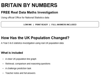
A ready-to-print Year 5 and 6 statistics and geography pack using real ONS population data, with 5 investigations, graphs, reasoning and full answers.
Britain by Numbers gives children the chance to work with real UK population data rather than invented classroom figures. The pack uses official data from the Office for National Statistics (ONS) and is designed for upper KS2, particularly Years 5 and 6.
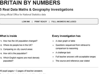
The pack contains 5 complete investigations:
How has the UK population changed?
Where do people live in the UK?
Comparing six city council areas
How old is the population?
Which English regions are most densely populated?
Children practise key statistics skills including:
reading and interpreting line graphs
reading tables and bar charts
ordering and comparing large numbers
calculating differences and totals
interpreting population density
spotting misleading graph scales
explaining answers using evidence
reasoning and challenge questions
Each investigation includes a clear graph or table, carefully sequenced retrieval, comparison and reasoning questions, plus a challenge task.
The pack also includes:
10 pupil activity pages
full teacher answers
acceptable answer ranges where appropriate
teacher guidance
curriculum links
clear explanations of estimates, census data and rounding
source and licence information
low-ink, black-and-white design
print-ready A4 pages
Suitable for use as a Year 5 or Year 6 statistics lesson, maths activity, geography lesson, cross-curricular task, morning work or independent practice.
The resource supports upper KS2 work on statistics, line graphs, tables, comparison, sum and difference problems while also linking naturally to geography topics such as population and population density.
All statistics are based on official ONS data and the source information is included within the pack.
Low ink | Print ready | Full answers included