Character Archetypes TableQuick View
kjack960805

Character Archetypes Table

(0)
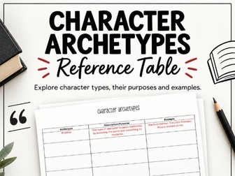
Help students understand and identify character archetypes with this clear and easy-to-use reference table. This resource introduces students to common character archetypes by providing space to explore the archetype, its description/purpose, and examples from familiar texts and films. It is designed to help students recognise recurring character types and understand the role they can play within stories.
Geography Liveability Case StudyQuick View
kjack960805

Geography Liveability Case Study

(0)
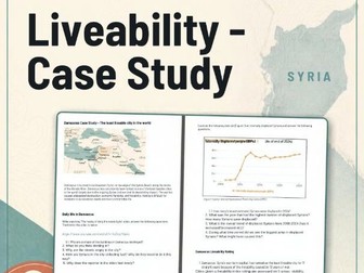
This Geography resource introduces students to the concept of liveability through a real-world case study of Damascus, Syria. Students begin by exploring what liveability means in Geography and considering the physical and human characteristics that can make a place more or less liveable. They then undertake contextual research into Damascus, building an understanding of the city’s location, history, population and circumstances before investigating its liveability. The resource uses Damascus as a compelling case study because it has repeatedly been ranked as the least liveable city in the world by the Economist Intelligence Unit’s Global Liveability Index.
C.L.O.C.C. - Geography Concept Learning ActivityQuick View
kjack960805

C.L.O.C.C. - Geography Concept Learning Activity

(0)
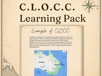
Help students confidently develop their C.L.O.C.C. geographical skills with this engaging, scaffolded resource designed to take students from explicit instruction to independent practice. This resource introduces students to the C.L.O.C.C. concept step-by-step, using clear explanations, diagrams, visual examples and worked examples to help students understand what they are looking for and how to apply the skill. Once students have been guided through the process, they can use the accompanying practice table/worksheet to apply their understanding independently.
Different Types of Flooding TableQuick View
kjack960805

Different Types of Flooding Table

(0)
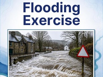
Help students build their geographical knowledge of flooding with this simple and structured research activity. This resource provides students with a research table designed to investigate different types of flooding. Students research each flood type and record key information, helping them identify how different floods occur and the geographical processes and characteristics associated with them. The structured format provides students with a clear framework for organising their research while developing their ability to locate, interpret and summarise geographical information.
Rainfall in AustraliaQuick View
kjack960805

Rainfall in Australia

(0)
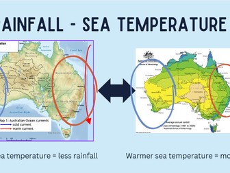
A powerpoint presentation with embedded activities that focuses on Geography and the distribution of rainfall, in particular, in Australia. Geographical concepts covered include: Factors that influence rainfall, such as landforms, climate events and sea temperatures Orographic lift El nino and La nina Geographical skills covered include: Map reading and the knowledge of BOLTSS Geographic terminology
Ethos, Pathos and Logos Table ActivityQuick View
kjack960805

Ethos, Pathos and Logos Table Activity

(0)
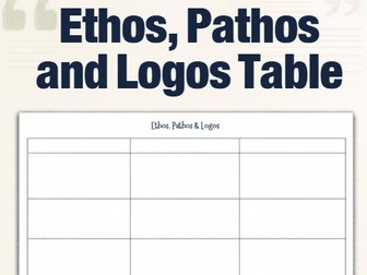
Help students identify and analyse Ethos, Pathos and Logos in persuasive texts with this clear and easy-to-use analysis table. This activity gives students a structured way to examine a persuasive piece and record what they can see and identify within the text. Students look for examples of Ethos (credibility), Pathos (emotion) and Logos (logic/reasoning) and record the evidence they find. The table provides a simple framework for students to practise recognising persuasive appeals before moving towards more detailed analysis of how and why a writer uses them to influence an audience.
Flood Modelling ActivityQuick View
kjack960805

Flood Modelling Activity

(0)
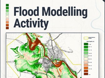
Put students’ geographical map-reading skills into practice with this engaging flood modelling activity. In this activity, students examine a projected flood map and use their geographical knowledge and map-reading skills to investigate what the map is showing. Rather than simply reading information from the map, students are encouraged to observe patterns, identify areas at risk and make geographical assumptions based on the evidence provided. Students then respond to a series of questions that require them to interpret the flood model and apply their understanding of flooding, location, spatial patterns and geographical processes.