Sale
 Quick View
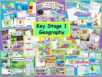
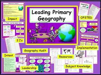
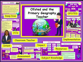
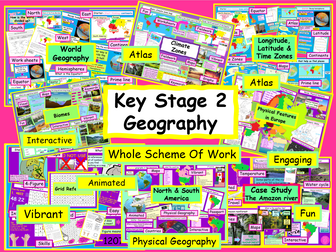
Physical Geography KS2 Whole Scheme of Work
Primary Geography Key Stage Two SOW National Curriculum
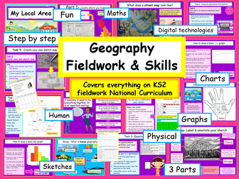
I have included everything you need to cover the Key Stage 2 Physical Geography National Curriculum. The work is divided into 16 sections. There are animated & interactive vibrant power points, maps, worksheets, starters, recaps/plenaries, basic lesson plan, IT activities & fieldwork opportunities. Each power point can be adapted to meet the needs of your learners.
This will save you so much time. It is easy to follow and will help students build their confidence in geography. You can teach the sections at your own pace and the ppts can be easily tweaked to your class. The SOW has taken me over 120 hours to create everything. My aim is to improve the transition from primary to secondary geography. Suitable for a non-specialist.
To help SEN students I have included a variety of learning styles. All font is in Comic sans, to support dyslexic learners. The scheme of work can be easily adapted to meet the needs of higher-level learners.
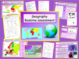
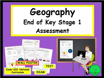
There are two differentiated assessments. An interim assessment at the end of section 5 and after section 15. A student revision exam poster. Also includes IT activities and fieldwork opportunities.
Includes:
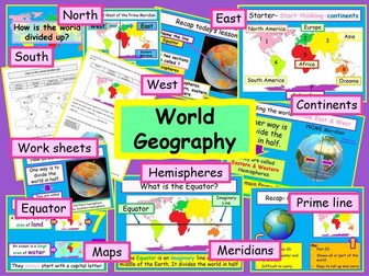
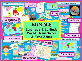
• Facts about the Northern and Southern Hemispheres
• Locate the Equator & Prime/Greenwich Meridian
• Use atlases, globes and maps
• Use longitude and latitude
• Locate the Tropics of Cancer & Capricorn, Arctic & Antarctic Circle
• Study different time zones
• Use maps, globes & atlases to locate countries
• Describe and explain key physical aspects
• Locate the world’s countries, using maps to focus on Europe
• Create an annotated field sketch
• Recap and develop physical geography knowledge
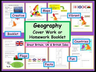
• Study physical geography in the UK
• Develop bar graph skills
• Cover world climate zones
• Complete monitoring the weather fieldwork
• Look at polar, temperate, and tropical climate zones
• Identify a habitat, an ecosystem, a biome & a vegetation belt
• Identify key physical characteristics & topographical features
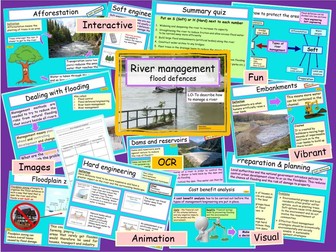
• Cover natural hazards
• Physical features in Europe
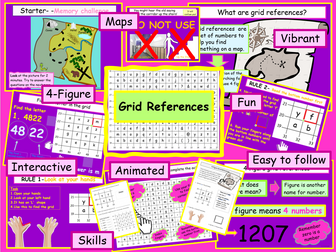
• Use 4-figure grid references
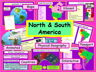
• Locate countries in North and South America
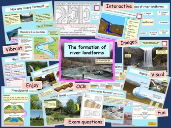
• Describe the water cycle
• Compare geographical similarities and differences (UK, Italy & Brazil)
• Case studies – UK, Italy, and Brazil
• Complete the ks2 physical geography exam
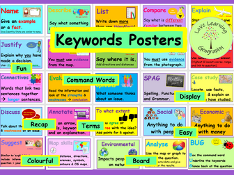
• Learn new key geographical words
• IT activities
Sources:Pixabay (unless stated)
© Love Learning Geography
Students will have everything they need to start key stage 3 physical geography. I have also created the full scheme of work for Key Stage 1.
Thank you for looking at my resources. If you download or purchase any of my resources, I would really appreciate the feedback. I would love to hear from you!
*I hope your students love learning geography :) *