 Quick View
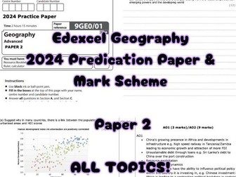
Edexcel A Level Geography P1 2024 Prediction Paper and Mark Scheme
I created a practice paper with **all new questions ** for students to practice during the countdown to the exam. I used the specification and all past papers to work out what hasn’t come up yet. It includes areas of the most difficult parts of the specification. I also produced a mark scheme with ideas for answers.
Hazards, coasts and carbon and water cycle. Optional theme of coasts is included. No glaciers section.
Edexcel A Level Geography prediction paper, Paper 1, mark scheme included. Practice questions.