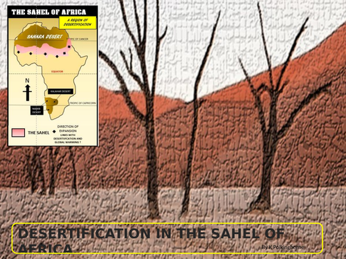


In a world where populations pressures place strains on ecological systems the added strain of desertification adds an additional problem. The SAHEL of Africa is an area between the northern desert (Sahara) and the wetter climate zones of the savanna lands. It spans twelve African countries. Most of these have high levels of population pressure and growth. Through the use of maps, diagrams, photographs and selected situations this unit explains why the SAHEL is the major region where desertification is occurring. The unit explores the causes (natural and human) and recognises the consequences. Many of the pages are designed so that teachers can screen them and discuss them in class. The attachment pages are provided so that teachers can have flexibility in how they are used i.e., within the classroom or as individual home study activities. The story of the headman in the abandoned village of Northern Nigeria is provided so that students can gain some idea of the personal impact those affected by desertification experience. The pages providing posters (Oxfam and Unicef) indicate the emergency situationS faced by countries within the SAHEL. The aid programmes are created to assist in the short term. Coping with desertification in the longer term requires more complex and detailed planning.
Something went wrong, please try again later.
Thank you
Lots of good content to adapt to your particular class; some of the text a bit dense for most of my GCSE students, will need edited to be user-friendly
Report this resourceto let us know if it violates our terms and conditions.
Our customer service team will review your report and will be in touch.
£0.00