
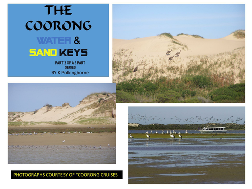

Part 1 in the series explained what the Coorong is. It also showed by maps its location. Now it is time to more closely examine the area by considering the roles of water and sand in the creation of this elongated stretch of water. This unit indicates the connection between the River Murray flows and the impact these can have on the volume of water in the Coorong. It also indicates that salinity levels within the Coorong generally increases from north to south so that the water in the Southern Lagoon becomes hyper-saline. This situation poses considerable problems for wildlife and vegetation. There have been a number of proposals to reduce salinity levels but as yet, none of these have been implemented. There are 3 attachments (colour and black and white provision) which provide questions and worksheets. Some answers are straightforward but those on the hyper-salinity issue require more detailed discussion and debate. This unit is aimed at Secondary Geography/Environmental levels in topics such as Coastal and Inland Water. This unit forms a background for the following unit - Part 3 THE COORONG - ABORIGINAL AND EUROPEAN OCCUPATION OF THE COORONG.
Something went wrong, please try again later.
This resource hasn't been reviewed yet
To ensure quality for our reviews, only customers who have downloaded this resource can review it
Report this resourceto let us know if it violates our terms and conditions.
Our customer service team will review your report and will be in touch.
£0.00