
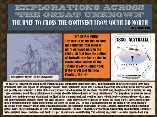
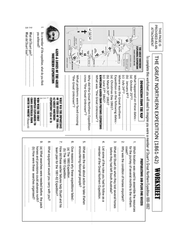
Take your students back in time when the European settlement of Australia was basically a number of colonial capitals spread around a vast continental interior that was basically unknown. Recognise that a series of land explorations would start filling in details about this "Great Unknown". Recognise that maps of the era, though accurate (almost) for the coastline, had little accuracy for the vast interior. Recognise, also that for European colonists communications between their homelands and Australia were frustratingly slow. Now add the interest of colonial governments in opening up land and resources of the interior so that journeys of exploration were favourably regarded and you have the background for the numerous land explorations. Then add the prospect of improved communications with Europe via an undersea cable system that would find landfall on the northern coastline and link with landline a telegraph system. Now you have the incentive for land explorations from south to north. Add the race between Victoria (Burke and Wills) and South Australia (Stuart) and you have the reasons for heightened interest. This unit traces the 3 attempts of Stuart to find the land route from Adelaide to the north coast. Using maps and first hand comments from Stuart's journal you can follow the expeditions through the centre. Share the failures, the hardships, the set backs, the contacts with the Aboriginal first occupiers. A final worksheet provides a check sheet for distribution.
Something went wrong, please try again later.
This resource hasn't been reviewed yet
To ensure quality for our reviews, only customers who have downloaded this resource can review it
Report this resourceto let us know if it violates our terms and conditions.
Our customer service team will review your report and will be in touch.
£0.00