


The third of six lessons in this WW2 topic.
Atlases to be provided, or printed out maps of the UK cities and UK counties (or a mixture of both)
What this lesson is about:
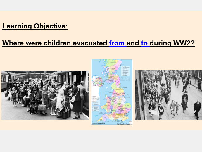
Main learning objective: Where were children evacuated from and to during WW2?
The PowerPoint explores:
- A starter activity to gather thoughts around a photo of children shielding from a bomb
- Description of what evacuation was, including images and videos to support
- Description of Operation Pied Piper
- Explanation of the activity
The activity:
The purpose of the activity is to explore the counties and cities which WW2 children were evacuated to. Using maps provided (either atlases or printed out maps), the task is to colour code some of the evacuated cities and counties on their on map of the UK, and label around the map.
There is a dive deeper question provided to challenge the more able thinkers: ‘Why were children evacuated from these places? Write a paragraph about how you would feel if you were evacuated.’ And ‘How do you think the cities and people from the evacuated places have changed as a result of the evacuation?’
Uploaded documents:
- Teaching PowerPoint
- PowerPoint with blank UK map, maps of counties/cities and the dive deeper question.
- Word document with the image for starter activity
Something went wrong, please try again later.
This resource hasn't been reviewed yet
To ensure quality for our reviews, only customers who have purchased this resource can review it
Report this resourceto let us know if it violates our terms and conditions.
Our customer service team will review your report and will be in touch.
£3.00