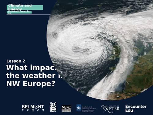


This is the second lesson in the eight lesson Global Climate and Renewable Energy unit for KS4 and GCSE. This lesson focuses on using isobar maps and satellite images of NW Europe to predict and explain weather conditions. In this lesson students will use all their knowledge of weather systems, and use a variety of satellite maps of Northwestern Europe to predict the weather for the next day. Students will then go on to use satellite images to describe the weather of Northwestern Europe and explain what has caused this weather and what conditions would be expected as a result of what is shown on the satellite images.
The unit provides a robust understanding of the latest findings promoting climate literacy, while being curriculum-aligned to GCSE exam body specifications, equipping students with the knowledge and skills to tackle challenges of the future. The unit and its associated activities and multimedia can also be accessed on the Encounter Edu website.
Something went wrong, please try again later.
This resource hasn't been reviewed yet
To ensure quality for our reviews, only customers who have downloaded this resource can review it
Report this resourceto let us know if it violates our terms and conditions.
Our customer service team will review your report and will be in touch.
£0.00