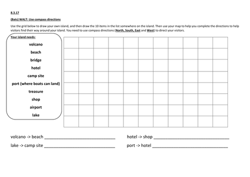

Pupils use the grid to draw an island, and then have to add a list of things on their map, such as a lake, hotel, beach, etc.
Once they have finished creating their island, they need to complete directions for tourists to help them get around their island. Using North, South, East and West pupils have to tell them how to get to and from different places on the map.
There are 3 differentiated versions:
LA - Have to give simple instructions for 4 different routes.
MA - Have to give instructions for 9 different routes.
HA - Have to give 9 instructions for different routes, and also have to give some directions for routes with more than one stop (e.g. hotel -> lake -> beach).
I printed them out on A3 for my Year 3 class to use, which worked well, but they could be printed A4 too.
Something went wrong, please try again later.
This resource hasn't been reviewed yet
To ensure quality for our reviews, only customers who have purchased this resource can review it
Report this resourceto let us know if it violates our terms and conditions.
Our customer service team will review your report and will be in touch.
£2.00