A complete study of ROCKS - suitable for Junior Cert/GCSE students.
A 43 slide PPT describing each of the three rock types using two examples for it. Includes images and videos (hyperlinks inserted - click on the title of the video to get brought to the YouTube video), key terms and learning intentions. To-do slides/homework slides refer to the ‘Geography in Action’ book and workbook.
Map of Ireland with counties labelled - referred to in PPT.
Cloze test for assessment of key terms.
Uses of rocks PPT - A 17 slide PPT explaining how different types of rocks are used. Also includes a casestudy. Videos and images included (hyperlinks and one embedded video). Again, portfolio task and to-do slide refer to the ‘Geography in Action’ workbook.
Tic-Tac-Toe assessment on Rocks
An end of topic exam on the topic.
5 detailed PowerPoint presentations on The Sea (based on Irish Junior Cycle Curriculum).
PPT 1. Introduction to the sea/key terms/waves/processes
PPT 2. Landforms of coastal erosion
PPT 3. Landforms of coastal deposition
PPT 4. People and the sea
PPT 5. Coastal Protection
There are lots of images/diagrams/video clips embedded into each ppt. Some slides direct students to homework/‘to-do’ tasks. The book I refer to is ‘Geography in Action’ (textbook and activity book). These slides can of course be adapted to suit your own class/textbook.
4 PowerPoint Presentations which explain hot desert climate, cool temperate oceanic climate, boreal climate and factors affecting climates.
Also included is a graphic organizer (word document) which summarizes all the above topics and can be used as a revision handout.
9 PPTs and a word doc activity. All based on OS maps. This is everything I cover with 1st year students (Year 7).
A 13 slide PPT introducing OS maps, scale, the legend etc…
A word document ‘Cops and Robbers’ Activity to get students using the legend
A 16 slide PPT on measuring distance (Straight line & Curved Line). Include 2 YouTube links to online demonstrations.
A 9 slide PPT on 4 figure grid references
An 8 slide PPT on 6 figure grid references
A 10 slide PPT on height on an OS map (colour, contour lines, sport heights, triangulation pillar)
An 11 slide PPT on slope on an OS map (even slope, concave slope, convex slope)
A 5 slide PPT on direction (N, S, E, W)
A 13 slide PPT on sketching an OS map (Manageable, step-by-step guide with visual aids)
An 8 slide PPT on reading the landscape on an OS map (relief, drainage and human landscape)
Each PPT is colourful and well-laid out with transitions and animations already done. Lots of images & extracts of OS maps used as visual aids. Some PPTs contain ‘to do’ and ‘homework’ slides. These refer to the EDCO book ‘Geoplanet’ but can be changed to suit the book you use in your own class.
*For More Geography resources and similar PPTs, see ‘My Shop’ .
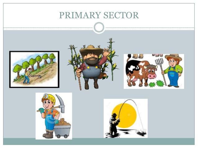
A complete study of Primary Economic Activities for the new Junior Cycle.
An introduction to Primary Economic Activities for Junior Students. 7 slide PPT. Includes key terms, learning intentions, some short questions, images, HW and to-do slides.
A 33 slide PPT on the Water Cycle (can also be adapted for Senior Cycle geog). Includes key terms, learning intentions, images, hyperlink to video clips and a ‘water cycle’ song on Youtube.
A 16 slide PPT on a major irrigation scheme (The Aswan Dam). Includes key terms, learning intentions, images, YouTube clip (via hyperlink) and debate thoughts.
A 17 slide PPT on fishing including reasons for overfishing and ending overfishing. Includes key terms, learning intentions, images, YouTube clip (via hyperlink) and to-do slide.
A 25 slide PPT on farming, discussing inputs, processes, outputs, types of farms, problems with agriculture, sustainable farming, CAP etc… Includes key terms, learning intentions, images, YouTube clips (via hyperlink), activity slide (see next resource) and to-do slides.
Inputs, outputs and processes to print/laminate for class activity mentioned in above PPT. Students work in groups to categorise the inputs/processes/outputs and primary economic activity jobs.
A 27 slide PPT on forestry. Includes key terms, learning intentions, images, an embedded clip from National Geographic, to-do slides and plenty of summary questions.
All HW/Activity/To-do slides refer to the ‘Geography in Action’ textbook and workbook/portfolio book. These can easily be adapted to suit your own textbook.
To access hyperlinks, ensure you are in ‘slideshow view’ and click on the title of the slide - the cursor arrow should change to a little hand. This will bring you to Youtube.