
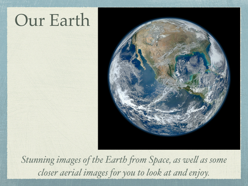
A wonderful resource showing 28 aerial view images of the Earth, taken from satellites, aeroplanes and drones. Your students will find these photos fascinating! This is a great resource for helping your students to gain a different perspective and understanding of the Earth.
This resource is a PDF file, that can either be printed or used as a presentation on a computer or smartboard.
This resource is a PDF file, that can either be printed or used as a presentation on a computer or smartboard.
Get this resource as part of a bundle and save up to 87%
A bundle is a package of resources grouped together to teach a particular topic, or a series of lessons, in one place.
Something went wrong, please try again later.
A lovely collection of photos showing many aspects of the Earth and a unique perspective of the planet we live on. This will help aid many classroom discussions in many different subjects, especially geography.
Report this resourceto let us know if it violates our terms and conditions.
Our customer service team will review your report and will be in touch.
£3.00