Over 2000 primary school resources including assemblies, games, activities, presentations and more! All resources have been tried and tested and most cost less than a cup of coffee. Thank you for visiting.
Over 2000 primary school resources including assemblies, games, activities, presentations and more! All resources have been tried and tested and most cost less than a cup of coffee. Thank you for visiting.
2 PowerPoint presentations (one about India and one about India’s national animal), a homework task and a map of India.
All resources are fully editable.
Main PowerPoint (44 slides):
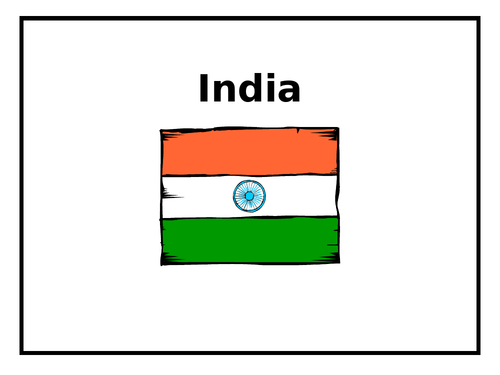
Slide 3: India’s flag.
Slide 5: Activity: India mind map.
Slide 6: Continents.
Slide 10: India on a world map.
Slide 11: Atlas activity: Locate countries, oceans and seas which border India.
Slide 12: Travel activity: In groups, research direct and indirect routes to India.
Slide 13: Physical and human features of India.
Slide 22: India presentations: Students to plan a small presentation about India.
Slide 24: Drawing and Painting Activity: Taj Mahal at sunset.
Slide 27: A small village in southern India.
Slide 33: Comparing & Contrasting 2 localities (Bangkok City & a village in India).
Slide 37: Activity: Up-level a sentence.
Slide 39: Contrasting Art Work (City Life VS Village Life).
Slide 40: Activity: Create a sentence using specific words.
Slide 41: Lesson Ideas.
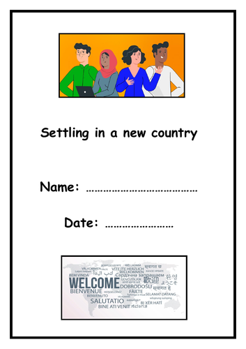
Attached is a 5-page activity booklet focusing on why people move away from their birth country.
Map work, vocabulary work, Q & A and research project included.
Suitable for 7 - 13 years.
5 pages in total.
Fully editable.
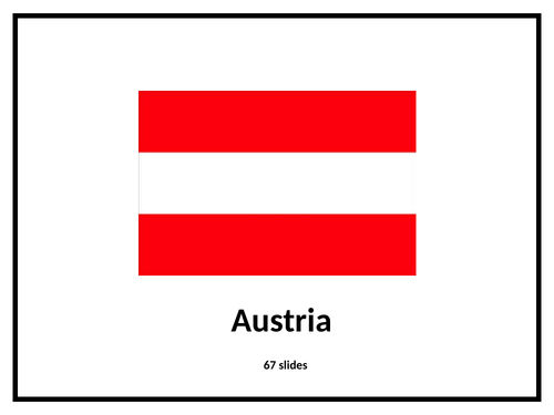
Explore Austria with this comprehensive PowerPoint and set of activity booklets.
67 slides.
Ideal for 7 - 11 years.
The presentation covers Austria and its neighbouring countries, the River Danube, the Alps and more.
Fully editable.
** A 30-minute class assembly visiting the 7 continents.
** A PowerPoint and detailed script is provided - your class will need to learn a couple of dances too!
**A lot of fun!