 Quick View
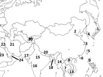
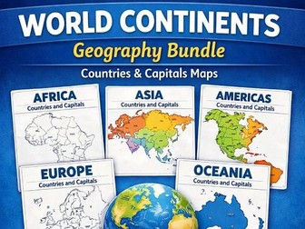
ia Geography Bundle | Maps Worksheets
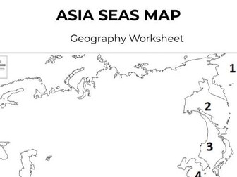
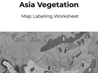
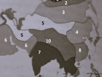
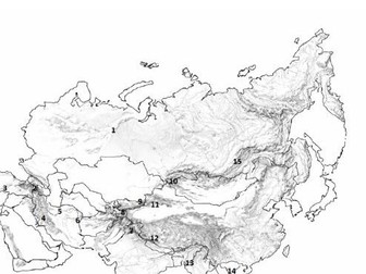
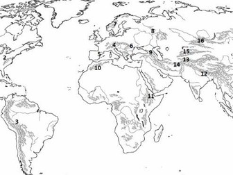
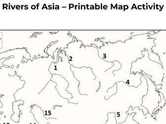
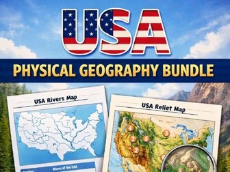
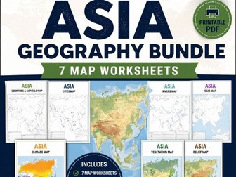
A complete set of printable Asia geography worksheets designed for map skills and continent study.
Includes:
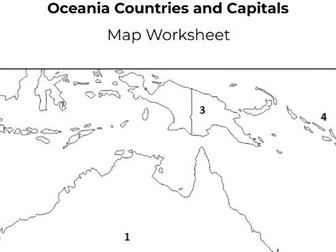
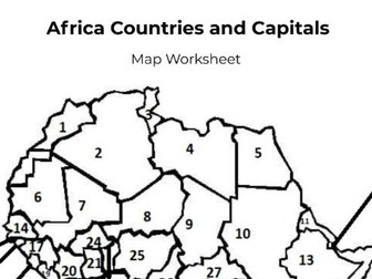
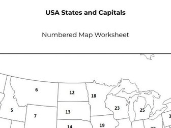
Countries & Capitals
Major Cities
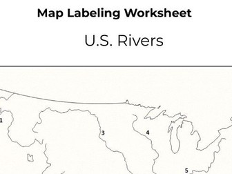
Rivers
Climate
Vegetation
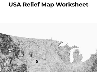
Relief / Physical Features
Seas
Perfect for geography lessons, homework, revision, and independent learning.
Features:
Printable PDF files
Answer keys included
Easy to use
Teacher friendly
Black and white format
Ideal for KS2, KS3, middle school, and geography units.