
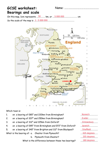
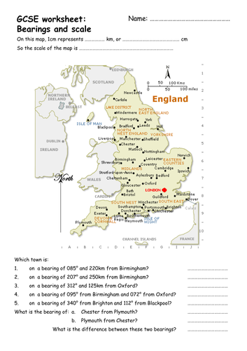
Map activity where students identify the scale of the map and identify target towns using bearings and distances. For KS3/4.
Answers provided.
Make sure you print it at full size so as not to mess the scaling up! Should be 1cm : 50km when printed.
Also a nice bit of cross-curricular work incorporating a geography lesson - though I don’t know why Devon is shown as a town!
Something went wrong, please try again later.
I don't think I've commented on a resource before, but this is great. Scaffolded prior to giving it out builds the skill and gives a satisfying achievement, but also good as a review of the skills, and is easily extended by simply calling for bearings and distances between two or more cities.<br /> Like it says, makes sure it prints 'full size' rather than 'fit to page', and the 1cm:50km scale is spot on.
Fantastic - Bearings are great for cross-curricular work. Easily differentiated with reverse & combined bearings.Thanks for producing and sharing this.
Report this resourceto let us know if it violates our terms and conditions.
Our customer service team will review your report and will be in touch.
£0.00