


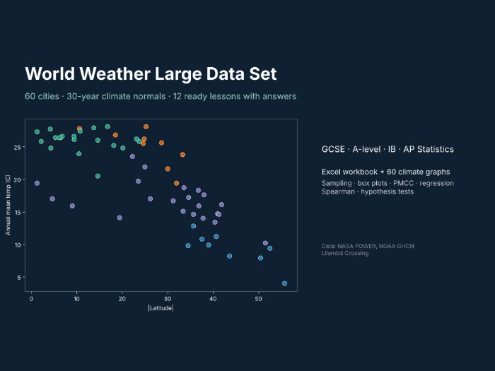

Free sample of the full pack “World Weather Large Data Set” (search LilambdCrossing on Tes). Try a few tasks and the data with your class before you buy.
A real-world large data set for statistics lessons, built from 30-year climate normals (1991-2020) for 60 cities on every continent.
- Excel workbook: Cities (22 variables per city: latitude, Koppen class, temperature, rainfall, humidity, sunshine, frost days, warming trend, records), Monthly (60 cities x 12 months), 12 ready tasks, worked answers, sources.
- 60 climate graphs (PNG), one per city.
- Covers sampling, averages, quartiles and outliers, box plots, scatter and PMCC, regression, Spearman’s rank, and a hypothesis test on warming rates.
- Works for GCSE, A-level, IB and AP Statistics, and for geography climate units.
Data: NASA POWER (public), NOAA GHCN-Daily (public), Natural Earth (public domain). City names and coordinates © OpenStreetMap contributors, Overture Maps Foundation (ODbL).
Licence: use with your own classes; please do not resell.
Built with our own code from public data; the lesson tasks were drafted with AI help and every answer was computed from the data.
Custom data packs, maps or worksheets for your class: hello@lilambd.com
Something went wrong, please try again later.
This resource hasn't been reviewed yet
To ensure quality for our reviews, only customers who have downloaded this resource can review it
Report this resourceto let us know if it violates our terms and conditions.
Our customer service team will review your report and will be in touch.
£0.00