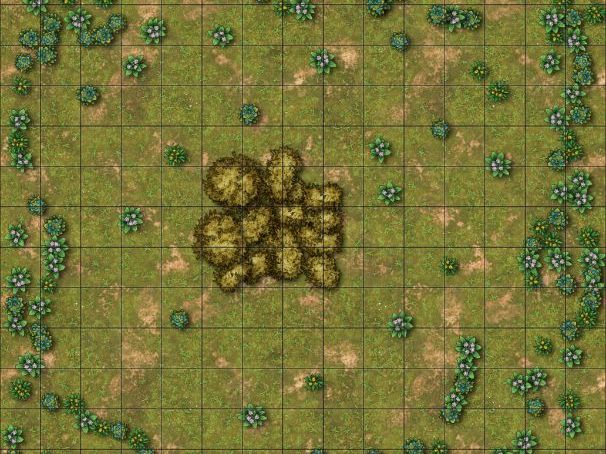


This resources contains a simple and clear PowerPoint on the different ways that quadrats can be used, and contains maps that can be used in a lesson.
The PowerPoint describes how quadrats can be used for estimation of population numbers and as part of a line transect. Also included are a number of maps of different areas, both with and without overlaying grids. These maps can be printed off and used in the classroom. If grids are not used, pupils can make their own quadrats out of card and use them for both population estimate and line transects.
Something went wrong, please try again later.
This resource hasn't been reviewed yet
To ensure quality for our reviews, only customers who have purchased this resource can review it
Report this resourceto let us know if it violates our terms and conditions.
Our customer service team will review your report and will be in touch.
£2.00