
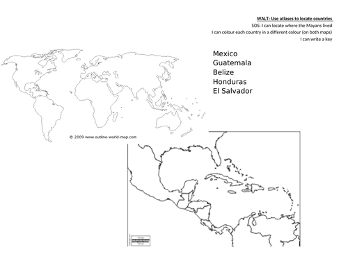
This sheet comprises of 1 large map of the world so children can see where the Mayans were located. Then it zooms in on the specific area so children can see the different shapes of the key countries. Children use an atlas to locate the countries, label, colour in and make a key.
Something went wrong, please try again later.
This is just what I needed, thank you!
Report this resourceto let us know if it violates our terms and conditions.
Our customer service team will review your report and will be in touch.
£0.00