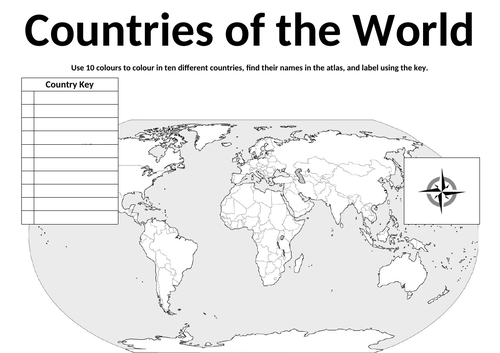

This worksheet includes a world map (with country borders), a key for ten places and a compass. Students can use it to help improve their locational geographic knowledge of ten different countries around the world.
Using an atlas (online or traditional) they can find a particular country and then colour it in on the map using the key to identify it. Once completed they can easily cover up the key and use it to self-assess or assess their friends. They can also add the compass directions on at the bottom as a further additional activity.
Get this resource as part of a bundle and save up to 0%
A bundle is a package of resources grouped together to teach a particular topic, or a series of lessons, in one place.
Something went wrong, please try again later.
This resource hasn't been reviewed yet
To ensure quality for our reviews, only customers who have purchased this resource can review it
Report this resourceto let us know if it violates our terms and conditions.
Our customer service team will review your report and will be in touch.
£3.00