
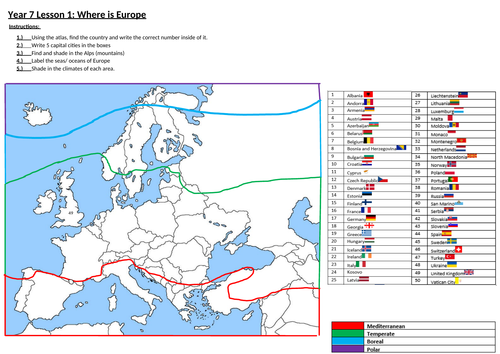
Students will be able to describe where the continent of Europe if located using hemisphere, lines of latitude and longitude. Then using an atlas students will located each country in Europe and its seas on the handout
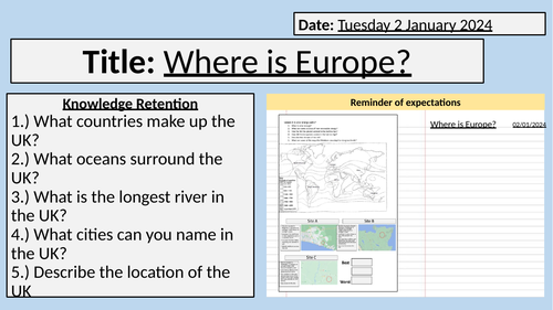
Starter: Knowledge retention about previous learning
Task 1: Describe the location of Europe globally
Task 2: Describe the location of Europe using latitude and longitude
Task 3: Main Task: Identify the countries of Europe on the sheet as well as the seas, and Alps, and climate areas if possible.
Task 4: Plenary: Recap of information.
Lesson contains one powerpoint and one worksheet.
Get this resource as part of a bundle and save up to 40%
A bundle is a package of resources grouped together to teach a particular topic, or a series of lessons, in one place.
Something went wrong, please try again later.
This resource hasn't been reviewed yet
To ensure quality for our reviews, only customers who have purchased this resource can review it
Report this resourceto let us know if it violates our terms and conditions.
Our customer service team will review your report and will be in touch.
£1.99