pdf, 52.62 KB
pdf, 52.62 KB
pdf, 2.52 MB
pdf, 2.52 MB
pdf, 2.5 MB
pdf, 2.5 MB

Ready-to-use earthquake investigation using live global data. Includes student activity pack, answer key and teacher guide for ages 14–16.
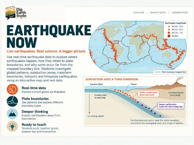
Students use the free Dig Earth Studio Earthquake Now interactive to investigate patterns in current earthquake activity around the world.
They begin with plate boundaries hidden and use the earthquake data itself to identify belts, clusters and patterns. Students then reveal plate boundaries, compare tectonic settings and investigate how earthquake depth changes in different parts of the world.
Rather than working from a fixed textbook map, students analyse a changing dataset of real earthquake events and use evidence to build explanations about global tectonic patterns.
Included in the download:

  • Student Activity Pack
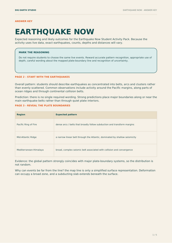
  • Answer Key
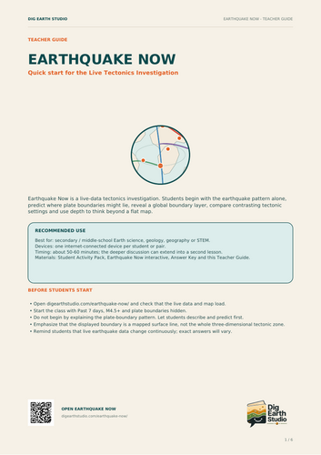
  • Teacher Guide
  • Link to the free Earthquake Now interactive
    Students investigate:
  • the global distribution of earthquakes
  • relationships between earthquakes and plate boundaries
  • patterns in earthquake depth
  • subduction zones and descending slabs
  • earthquakes that occur away from simplified plate-boundary lines
  • how observations from data can be used to support a scientific claim
    The interactive runs in a web browser with no login required and uses current earthquake information, so the dataset can change from one lesson to the next.
    Suitable for secondary Geography, Geology and general science, particularly around ages 14–16.
    The Earthquake Now interactive itself is free to use. This resource provides the structured investigation, questions, answer materials and teacher guidance needed to turn the live data into a complete classroom activity.

Get this resource as part of a bundle and save up to 39%

A bundle is a package of resources grouped together to teach a particular topic, or a series of lessons, in one place.

Bundle

Natural Hazards Bundle | 3 Investigations

hree ready-to-use natural hazards investigations for ages 14–16, covering earthquakes, volcanoes and flooding with complete classroom materials. This Dig Earth Studio bundle brings together three structured investigations that allow students to explore natural hazards through live data, interactive modelling and evidence-based reasoning. Included in the bundle: Earthquakes | Live Data Investigation Students analyse current global earthquake data, identify seismic patterns, investigate earthquake depth and explore relationships with plate boundaries. Volcano Investigation Students change volcanic conditions, make predictions and investigate how factors such as magma properties and gas escape influence volcanic behaviour. Flood Resilience Investigation Students investigate runoff, hydrographs and flood-management strategies by changing landscape conditions and comparing model outcomes. Across the three investigations, students: - make predictions - collect or analyse evidence - recognise patterns - compare scenarios - explain cause-and-effect relationships - evaluate simplified models and data Each resource includes structured student activities together with answer materials and teacher guidance. The Dig Earth Studio online tools run in a browser with no login required. Suitable for secondary Geography, Earth Science and general science, particularly around ages 14–16. The online interactives are free to access. This bundle provides the complete classroom investigations and supporting materials needed to turn them into structured lessons. Buying the bundle offers a lower-cost way to access all three investigations than purchasing them separately.

£6.99

Reviews

Something went wrong, please try again later.

This resource hasn't been reviewed yet

To ensure quality for our reviews, only customers who have purchased this resource can review it

Report this resourceto let us know if it violates our terms and conditions.
Our customer service team will review your report and will be in touch.