


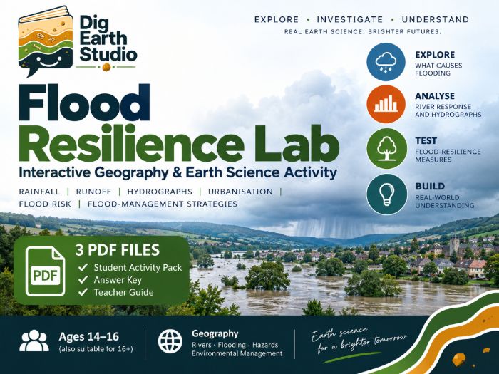
Interactive flood resilience activity for geography students exploring flood causes, hydrographs, runoff, urbanisation and ways to reduce flood risk.
Students use the free Dig Earth Studio Flood Resilience Lab to investigate how rainfall intensity, storm duration, soil saturation and land cover affect river flow and flooding.
They test flood-resilience measures including woodland, green space, green roofs, detention basins, floodplain reconnection and river-channel widening, then compare results and explain why some strategies reduce flood risk more effectively than others.
The resource develops understanding of:
drainage basins and catchments
runoff and infiltration
urbanisation
storm hydrographs
peak discharge and lag time
bank-full conditions
flood risk
natural flood management
flood-resilience strategies
Students make predictions, collect results, interpret graphs and justify conclusions using evidence from the model.
You will receive three downloadable PDF files:
12-page Student Activity Pack
complete Answer Key
7-page Teacher Guide
Designed mainly for ages 14–16, with good suitability for older secondary students studying rivers, flooding, hazards, environmental management and physical geography.
The online experiment is a simplified teaching model, not a real flood forecasting tool. Students need internet access to use the interactive lab.
Something went wrong, please try again later.
This resource hasn't been reviewed yet
To ensure quality for our reviews, only customers who have purchased this resource can review it
Report this resourceto let us know if it violates our terms and conditions.
Our customer service team will review your report and will be in touch.
£4.99