


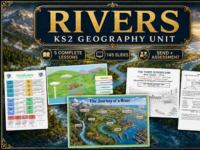
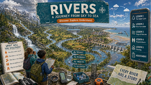
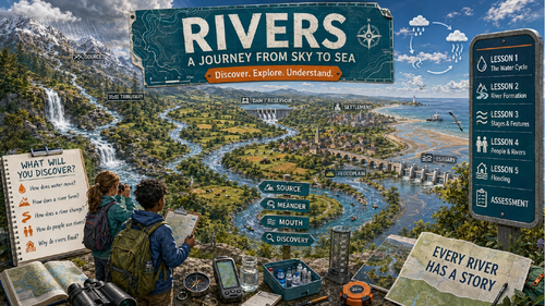
Complete KS2 Rivers geography unit with 102 teaching slides, printable resources, assessments, SEND scaffolds and a classroom display pack.
Teach an engaging and carefully sequenced KS2 geography unit exploring rivers from the water cycle through to flooding and human impact.
This comprehensive resource contains 145 slides across three editable PowerPoint files: a complete teaching presentation, printable lesson resources and assessments, and an extensive classroom display pack.
Each lesson follows a consistent classroom-ready structure:
Engaging visual enquiry question
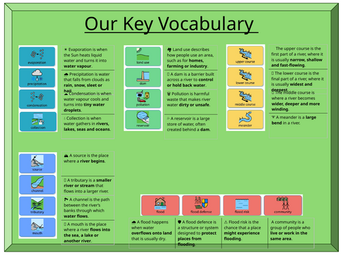
Two key vocabulary words with handwriting practice
R+R retrieval activity
Clear teacher modelling through I Do slides
Guided We Do activities
Check and discussion opportunities
Independent You Do task
Reasoning challenge and exit question
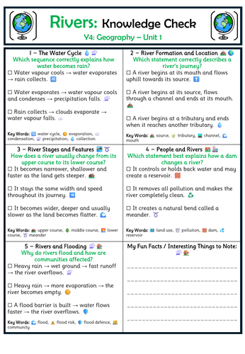
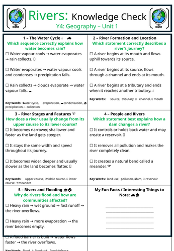
End-of-lesson knowledge check
Lesson sequence
Lesson 1: The Water Cycle
Explore evaporation, condensation, precipitation and collection before explaining how water reaches and forms rivers.
Lesson 2: River Formation and Location
Follow a river from source to mouth, introducing tributaries, channels and direction of flow. Includes activities linked to the River Thames.
Lesson 3: Features and Stages of a River
Investigate the upper, middle and lower courses alongside waterfalls, tributaries, meanders, oxbow lakes and floodplains. Includes an Amazon River example.
Lesson 4: People and Rivers
Explore how rivers are used for water supply, farming, transport and recreation. Pupils consider pollution, dams, reservoirs and the advantages and disadvantages of the Three Gorges Dam.
Lesson 5: Rivers and Flooding
Examine the causes and effects of flooding, surface runoff, flood risk and different flood defences. Includes a geographical investigation into flooding in York.
Lesson resources and assessment – 27 slides
Five-lesson knowledge map
Beginning and end-of-unit vocabulary assessment
Whole-unit knowledge check
Printable lesson title pages
Guided We Do resources
Independent activity sheets
Dual-coded vocabulary support
Adapted LA/SEND worksheets
Labelling and sequencing activities
Black-and-white diagrams and colouring resources
Flooding in York newspaper-report activity
Fifteen-question end-of-unit assessment
Twelve multiple-choice questions
Three extended-answer questions
Complete teacher answer key
The resource is designed for Year 4 but would also be suitable for adapting across KS2. The combination of photographs, diagrams, emojis, dual coding and structured scaffolds makes the unit accessible to a wide range of learners, including pupils with SEND.
All resources are supplied in editable PowerPoint format, allowing you to change dates, wording, activities and levels of support for your class. As well as in PDF form to avoid formatting issues.
Important font information: Topmarks font is used within the resources. Please download and install this free font before opening the PowerPoints to avoid formatting issues.
Something went wrong, please try again later.
This resource hasn't been reviewed yet
To ensure quality for our reviews, only customers who have purchased this resource can review it
Report this resourceto let us know if it violates our terms and conditions.
Our customer service team will review your report and will be in touch.
£5.00