


The National Curriculum states that children should be taught to name, locate and identify characteristics of the four countries and capital cities of the United Kingdom and its surrounding seas. Children should also be taught to use basic geographic vocabulary to refer to key physical features including: beach, cliff, coast, forest, hill, mountain, sea, ocean, river, soil, valley, vegetation, season and weather.
This lesson enhances children’s knowledge of geographical vocabulary referring to the seaside. A picture of a coastline is used as a stimulus to build children’s knowledge of such vocabulary. Children consolidate their knowledge of the countries of the United Kingdom and learn to identify the names of the seas and oceans that surround the United Kingdom. Children label the locations of the seas and oceans on a map of the United Kingdom.
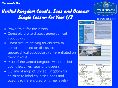
What is included?
- PowerPoint for the lesson.
- Coast picture to discuss geographical vocabulary.
- Coast picture activity for children to complete based on discussed geographical vocabulary (differentiated on three levels).
- Map of the United Kingdom with labelled countries, cities, seas and oceans.
- Outline of map of United Kingdom for children to label countries, seas and oceans (differentiated on three levels).
Files Included:
- The United Kingdom Coasts, Seas and Oceans: Single Lesson for Year 1/2 PDF File.
- The United Kingdom Coasts, Seas and Oceans Lesson PowerPoint.
Get this resource as part of a bundle and save up to 51%
A bundle is a package of resources grouped together to teach a particular topic, or a series of lessons, in one place.
Something went wrong, please try again later.
This resource hasn't been reviewed yet
To ensure quality for our reviews, only customers who have purchased this resource can review it
Report this resourceto let us know if it violates our terms and conditions.
Our customer service team will review your report and will be in touch.
£3.50