
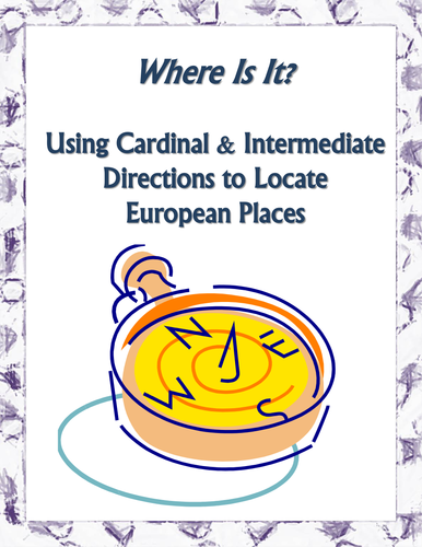
This is a map skills assignment for young students that teaches students how to properly use cardinal directions (north, east, south, west) and intermediate directions (northeast, northwest, southeast, southwest) with a map of Europe.
So, what makes this assignment different from all of the others that you have used? The assignment is written so that students must interact with the map before they use cardinal and intermediate directions.
They must first properly label the cardinal and intermediate directions on the included map's compass rose. Then, they must locate and label 15 European cities and 10 bodies of water. After successfully locating these places, there are 10 questions that require them to think about how people move from one city to another.
Something went wrong, please try again later.
This resource hasn't been reviewed yet
To ensure quality for our reviews, only customers who have purchased this resource can review it
Report this resourceto let us know if it violates our terms and conditions.
Our customer service team will review your report and will be in touch.
£2.00