


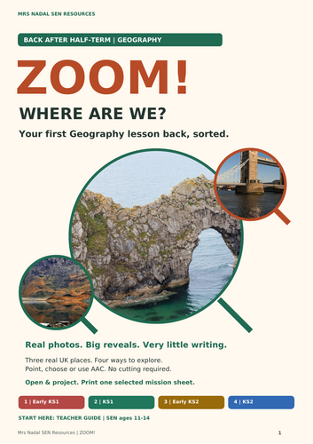
First Geography lesson back after half-term? Open, project and explore real photo mysteries, with four SEN levels and one sheet per pupil.
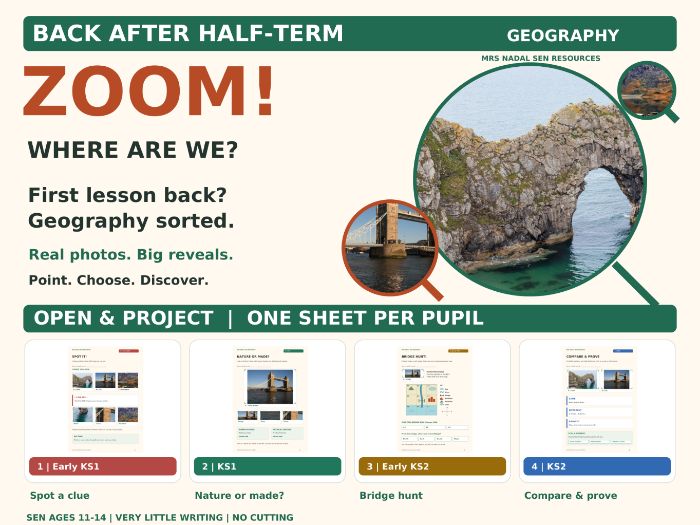
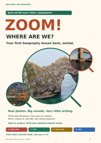
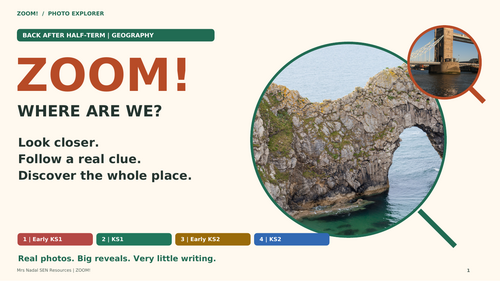
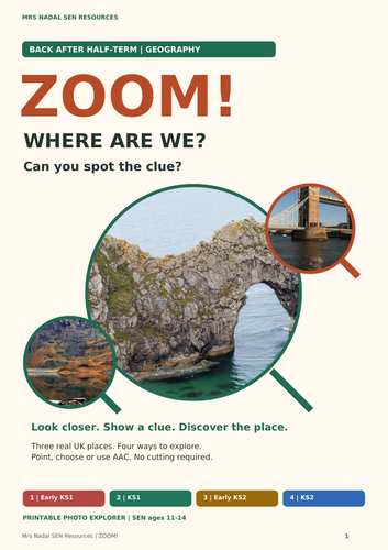
ZOOM! WHERE ARE WE? turns three real UK views into a shared photo enquiry: Durdle Door, Tower Bridge and Llyn Idwal. Reveal a detail, a wider view and then the whole photograph. Early ideas are predictions, not a scored guessing test; pupils do not need to know landmark names.
One class. Four ways to explore.
- 1 | Early KS1 - SPOT IT! Recognise one visible feature, with support.
- 2 | KS1 - NATURE OR MADE? Show one human and one physical feature in Photo B.
- 3 | Early KS2 - BRIDGE HUNT! Match a bridge to its map symbol, find its box and use a compass direction. The map, key and compass are on the pupil sheet.
- 4 | KS2 - COMPARE & PROVE Find one similarity and one difference, point to a clue in each photo and choose a question the photos cannot answer.
Designed for SEN learners aged 11-14 accessing foundational geography. Level labels describe learning demand, not chronological age. Pointing, eye gaze, speech, AAC and adult recording are welcome. No cutting, drawing or handwriting is required.
What is included?
Three classroom PDFs, 34 pages in total including covers and teacher/support pages:
- Teacher Guide - 9 pages: quick-start routes, printing menu, launch script, model answers, curriculum links and photo credits.
- Display Adventure - 15 landscape pages: three photo mysteries, real-photo detail lenses, practice map, comparison and shared finish.
- Printables - 10 A4 pages: photo passport, real-photo word board, enlarged practice map, four self-contained mission sheets, optional Zoom Master partner challenge and observation record.
Choose your preparation:
- No printing: open the display and note responses yourself.
- One sheet per pupil: print the selected level sheet; every level is self-contained.
- Optional Zoom Master: use the shared photo page and two pieces of plain paper. An adult can move the paper.
Allow about 15 minutes for a short restart or 25-35 minutes with pupil responses, map work and comparison. These are estimates; adapt the pace and communication support to your group.
Please note: these are static PDFs. Reveal manually by advancing pages; internal navigation buttons are optional. The preview shows actual resource pages. The photographs show real places; Zoom Bay is an imaginary practice map, not a map of the photographed sites. It practises symbols, box codes and four-way directions, not four-/six-figure OS grid references.
Selected links to the National Curriculum in England include human/physical vocabulary, observation, similarities and differences, symbols and directions. This is a short classroom photo enquiry, not a whole KS3 unit or first-hand fieldwork.
Something went wrong, please try again later.
This resource hasn't been reviewed yet
To ensure quality for our reviews, only customers who have purchased this resource can review it
Report this resourceto let us know if it violates our terms and conditions.
Our customer service team will review your report and will be in touch.
£2.99