
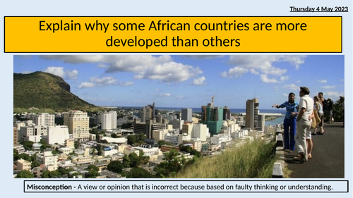
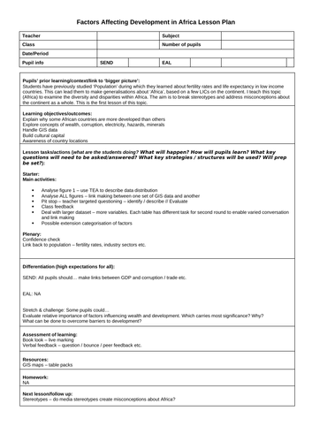
This is a very versatile lesson which could be used from year 7 to 11 / GCSE. Students use GIS maps of Africa showing conflict, mineral wealth, GDP, access to electricity etc. to discuss what factor may hinder development. It is also designed to break stereotypes about African nations and develop an awareness of diversity within the continent of Africa.
It is pair or groupwork orientated and comes with a lesson plan.
Something went wrong, please try again later.
This resource hasn't been reviewed yet
To ensure quality for our reviews, only customers who have purchased this resource can review it
Report this resourceto let us know if it violates our terms and conditions.
Our customer service team will review your report and will be in touch.
£4.00