


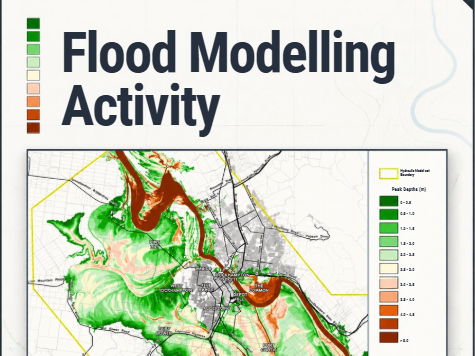
Put students’ geographical map-reading skills into practice with this engaging flood modelling activity.
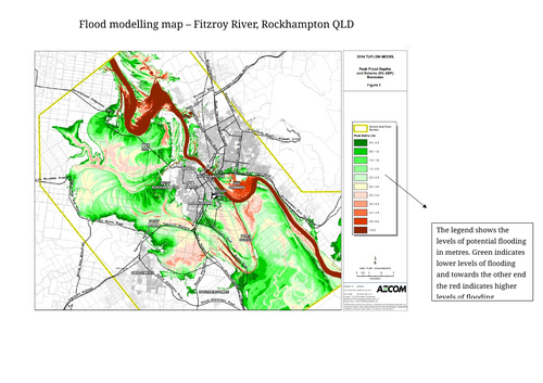
In this activity, students examine a projected flood map and use their geographical knowledge and map-reading skills to investigate what the map is showing. Rather than simply reading information from the map, students are encouraged to observe patterns, identify areas at risk and make geographical assumptions based on the evidence provided.
Students then respond to a series of questions that require them to interpret the flood model and apply their understanding of flooding, location, spatial patterns and geographical processes.
Something went wrong, please try again later.
This resource hasn't been reviewed yet
To ensure quality for our reviews, only customers who have purchased this resource can review it
Report this resourceto let us know if it violates our terms and conditions.
Our customer service team will review your report and will be in touch.
£2.00