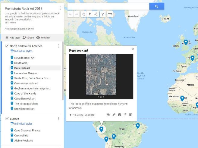

A collaborative lesson plan where the class works together to create a world map of Prehistoric Rock Art. Great to introduce them to GIS on Google Maps and an interesting topic to map. Students use Google Maps to locate examples of prehistoric rock art then “tour” the world comparing the different styles. Lesson plan includes how to set up Google Maps for a smooth lesson start.
This could be differentiated by providing students with examples of rock art to map, rather than getting them to research themselves.
Something went wrong, please try again later.
This resource hasn't been reviewed yet
To ensure quality for our reviews, only customers who have purchased this resource can review it
Report this resourceto let us know if it violates our terms and conditions.
Our customer service team will review your report and will be in touch.
£3.00