


KS3 Geography: Rivers – Enquiry Question: Will London be submerged in the future?
This fully resourced KS3 Geography unit explores rivers through the engaging and thought-provoking enquiry question: Will London be submerged in the future? Aligned with the National Curriculum, this scheme of work equips students with a strong geographical understanding of river processes, flood risk, and sustainable management—while developing critical thinking and problem-solving skills.
What’s Included:
Full Scheme of Work – Clearly sequenced lessons with learning objectives, outcomes, and curriculum links.
Easily Adaptable PowerPoints – Editable, teacher-friendly slides for every lesson.
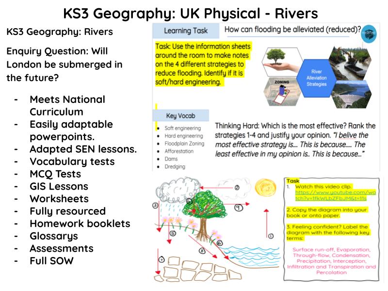
Adapted SEN Lessons – Differentiated resources to support all learners.
GIS Lessons – Interactive mapping and data analysis using Geographical Information Systems.
Vocabulary Tests – Reinforce key terminology and geographical literacy.
MCQ Tests – Low-stakes quizzes for retrieval practice and assessment for learning.
Worksheets – A wide range of printable tasks to support learning in and out of class.
Homework Booklets – Consolidate knowledge with structured, independent learning tasks.
Glossaries – Topic-specific vocabulary banks to support literacy and comprehension.
Assessments – End-of-topic assessments with mark schemes and feedback templates.
This unit blends conceptual rigour with real-world relevance, encouraging students to evaluate the human and physical factors contributing to flood risk in major urban areas like London. Perfect for building curiosity, enquiry skills, and a love of geography.
SOW
To Identify the countries of the UK and describe their location
To explain the relief of the UK.
Investigating different rock types (samples). – Using rock samples
To investigate what the hydrological cycle is.
To investigate the Thames drainage basin. To investigate how the river Thames changes from source to mouth including key landforms
(GIS Lesson)
Infiltration Fieldwork investigation (2 lessons). (Outside).
To investigate the importance of rivers both in the present and in the future. (Cities location on rivers).
To investigate the causes of flooding in the UK. Human/Physical.
To investigate how flooding is impacting the UK including an example. (2 lessons)
To investigate the ways rivers can be managed in the UK (Flood alleviation).
To evaluate the impact of the Thames barrier.
Peer Assessment & Revision Lesson
Assessment
Assessment Feedback
Something went wrong, please try again later.
This resource hasn't been reviewed yet
To ensure quality for our reviews, only customers who have purchased this resource can review it
Report this resourceto let us know if it violates our terms and conditions.
Our customer service team will review your report and will be in touch.
£8.00