


The National Curriculum states that children should be taught to use basic geographical to refer to key physical features, including beach, cliff, coast, forest, hill, mountain, sea, ocean, river, soil, valley, vegetation, season and weather. Also children should be taught to use world maps, atlases and globes to identify the United Kingdom and its countries, as well as the countries, continents and oceans studied at this key stage.
In this lesson children will learn about mountains. Firstly, children will label a mountain landscape and discuss the geographical terms. Children will then participate in a quiz about mountains. Children will learn about the highest mountains in each of the four nations. Children will label the locations of the highest mountains if each of the four home nations on a map of the United Kingdom. There are extension activities for the higher-achieving children.
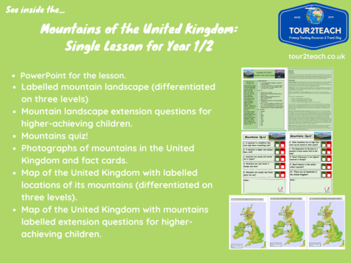
What is included?
- Full lesson plan.
- PowerPoint for the lesson.
- Labelled mountain landscape (differentiated on three levels)
- Mountain landscape extension questions for higher-achieving children.
- Mountains quiz!
- Photographs of mountains in the United Kingdom and fact cards.
- Map of the United Kingdom with labelled locations of its mountains (differentiated on three levels).
- Map of the United Kingdom with mountains labelled extension questions for higher-achieving children.
Files included:
Mountains of the United Kingdom: Single Lesson for Year 1/2 Lesson Plan in PDF file.
Mountains of the United Kingdom: Single Lesson for Year 1/2 Lesson PowerPoint.
Get this resource as part of a bundle and save up to 43%
A bundle is a package of resources grouped together to teach a particular topic, or a series of lessons, in one place.
Something went wrong, please try again later.
This resource hasn't been reviewed yet
To ensure quality for our reviews, only customers who have purchased this resource can review it
Report this resourceto let us know if it violates our terms and conditions.
Our customer service team will review your report and will be in touch.
£3.50