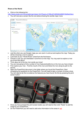


This lesson explores rivers of the world via ArcGIS. The lesson is designed to allow students to explore a famous global river of their choice. Students follow the river from its source to the mouth.
The end product for the students is a presentation on the river of their choice which will include images and explanations of upper, middle and lower course features.
Lesson plan included as well as an extension task, student presentation template, example presentation, student task sheet, world rivers sheet and homework project.
Designed for KS3 but could be used for KS4 as part of a physical geography series.
For more resources visit This is Geography. Full SoW for all new GCSE specifications - AQA, Edexcel, OCR, CIE IGCSE, Edexcel IGCSE and Eduqas. As well as over 200 lessons for KS3 and KS2. Want something bespoke designing? Email us for further details info@thisisgeography.co.uk
Something went wrong, please try again later.
This resource hasn't been reviewed yet
To ensure quality for our reviews, only customers who have purchased this resource can review it
Report this resourceto let us know if it violates our terms and conditions.
Our customer service team will review your report and will be in touch.