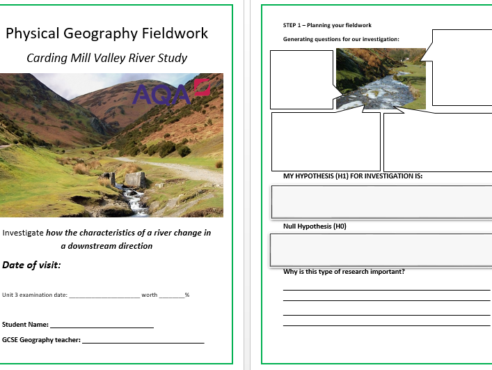

This is an AQA GCSE Geography (Grades 1 to 9) student fieldwork booklet to support the delivery of Unit 3. The booklet is based on one of the most popular physical fieldwork locations - The Carding Mill Valley in Shropshire. This is an investigation into how the charactersitics of a river change in a downstream direction, linking with the Bradshaw Model. The booklet includes location and maps, long profile rivers features, the Bradshaw Model, links to secondary sources, sampling types, risk assessment, primary data collection tables, blank fieldwork data collection sheets (including - width, depth, velocity, sediment shape and size wetted perimeter), data presentation pages, Spearman’s Rank Analysis, discussion about the results, conclusion and evaluation. This student workbook is fully editable, so it can be easily adapted for other UK river studies. The booklet provides the perfect structure for students to follow, linking directly with potential AQA fieldwork exam questions. Thank you for looking at this resource. Please provide feedback when you purchase.
Something went wrong, please try again later.
This resource hasn't been reviewed yet
To ensure quality for our reviews, only customers who have purchased this resource can review it
Report this resourceto let us know if it violates our terms and conditions.
Our customer service team will review your report and will be in touch.
£3.00