Hero image

GeographyFocus Shop

Average Rating4.55
(based on 40 reviews)

I am a geography teacher with 36 years experience in Years 7 to 12 in high schools in New South Wales and Western Australia. I am now retired but maintain a strong interest in producing resources for the subject for which I have a passion. This shop features a range of geography resources suitable for upper primary school and high school. Free resources are available for you to use within your school to trial the quality of my work.

125Uploads

87k+Views

8k+Downloads

I am a geography teacher with 36 years experience in Years 7 to 12 in high schools in New South Wales and Western Australia. I am now retired but maintain a strong interest in producing resources for the subject for which I have a passion. This shop features a range of geography resources suitable for upper primary school and high school. Free resources are available for you to use within your school to trial the quality of my work.
Investigating Cities - Shenzhen, China
swintrekswintrek

Investigating Cities - Shenzhen, China

(0)
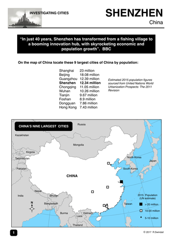
This is a 4-page worksheet that gets students to investigate the city of Shenzhen in China which has grown from little more than a fishing village in the 1970s to an expanding metropolis of 11 million people today. Shenzhen is commonly known as the "Silicon Valley of China". The worksheet has some mapping questions that look at Shenzen's location and changes in land use over time, some statistics on the climate of the city, and a series of questions on the growth of the city and its impact that can be answered from the BBC News (link is provided). An answer key is provided for teachers. The worksheet would be useful for the Australian Curriculum unit on Liveability and for those jurisdictions where urban development is a focus, perhaps from lower to upper high school Geography.
Tracking Hurricane Florence - a latitude/longitude exercise
swintrekswintrek

Tracking Hurricane Florence - a latitude/longitude exercise

(0)
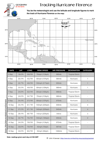
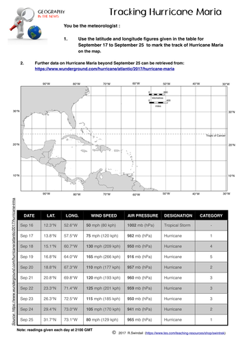
A simple worksheet that requires your students to plot the path using latitude and longitude of Hurricane Florence as it made its way from the mid-Atlantic to the US coast in the Carolinas. An answer key is provided. A good way to practice your students in plotting points using latitude and longitude, at the same time getting them to understand the relevance of this simple geographic skill to the real world.
Climate Graphs
swintrekswintrek

Climate Graphs

4 Resources
This bundle includes two instruction sheets on how to draw a climate graph and how to interpret a climate graph. In addition the bundle includes two worksheets on the climates of two European cities: London and Rome.
Crossword Puzzle: The Water Cycle
swintrekswintrek

Crossword Puzzle: The Water Cycle

(0)
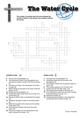
A crossword puzzle on the elements and processes within the water cycle. Three sheets: 1. Standard crossword puzzle 2. Same as standard crossword puzzle but with the first letter of each answer given as a clue. 3. Answer key A fun way for your students to learn the terms associated with the water cycle.
New Zealand Earthquake 13th November 2016
swintrekswintrek

New Zealand Earthquake 13th November 2016

(1)
This is a worksheet that asks students to investigate the 7.8 magnitude earthquake that struck New Zealand's South Island on 13th November 2016 (UTC). There are three pages to the worksheet: Page 1: Background of New Zealand - students will locate important features of NZ's physical landscape on a map and fill out a fact file. Page 2: Features a map of New Zealand (same as this worksheet's cover image) with a number of questions on the size of the earthquake, location of the epicentre and the major tectonic plates involved. Page 3: Mainly questions on the impact of the earthquakes and the NZ government response and that of the international community. This worksheet will help develop your students enquiry and internet skills.
Extreme Weather Case Study: East Coast Low - eastern Australia 4th to 6th June 2016
swintrekswintrek

Extreme Weather Case Study: East Coast Low - eastern Australia 4th to 6th June 2016

(0)
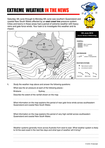
This worksheet is an extreme weather case study that gets students to investigate an east coast low pressure system that impacted the eastern seaboard of Australia between 4th and 6th June 2016 causing an immense amount of property damage as well as beach erosion and flooding in the hinterland. Students are take to the Australian Bureau of Meteorology's website where they will be able to obtain information about east coast lows and an Australian news' website where they will get information of the impact of this extreme weather event.
Topographic Map Skills 8 - Measuring distance
swintrekswintrek

Topographic Map Skills 8 - Measuring distance

(1)
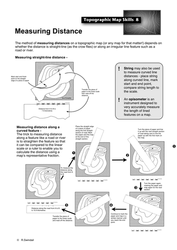
Photocopiable handout that shows students how to use the scale to work out straight-line and curved-line distances on a topographic map. Also available at a vastly reduced price as part of my Topographic Maps Skills Bundle that includes all of the basic topographic map skills as well as a set of graded exercises to practice your students in all of the skills : https://www.tes.com/teaching-resource/topographic-map-skills-11564811
Topographic Map Skills Exercises
swintrekswintrek

Topographic Map Skills Exercises

(1)
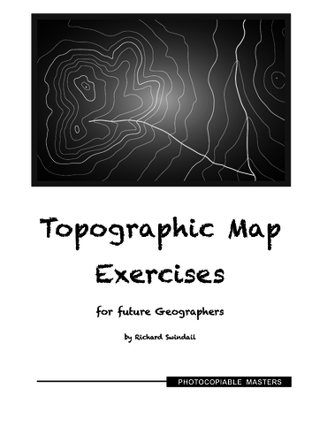
A series of 10 sets of topographic maps and exercises that introduce students to reading of topographic maps. The maps are graded in level of difficulty from the first which practices the students in elementary topographic map skills and progress to more difficult maps and more difficult topographic map skills. The maps are blackline masters and are easily photocopied. Answers are provided for each of the ten sets of exercises. Also available in a bundle that includes these exercises and handouts on all of the basic topographic map skills: https://www.tes.com/teaching-resource/topographic-map-skills-11564811
Geography Crossword #1 - basic geographic terms
swintrekswintrek

Geography Crossword #1 - basic geographic terms

(0)
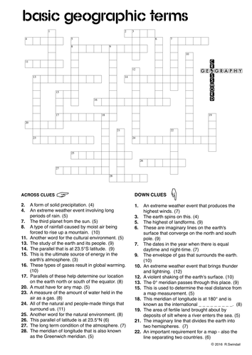
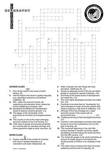
A crossword puzzle of geographic terms. Three puzzles with the same clues but: 1. A crossword with no hints for the more able students, 2. A crossword with the first letter as hints, 3. A crossword with all consonants as hints. Four pages in total - the crossword previewed is the one without hints. Choose the level of difficulty that suits your students. Great for differentiation of ability within your class. A solution is provided for the teacher.
Introducing Environments - for UK schools
swintrekswintrek

Introducing Environments - for UK schools

(0)
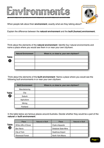
This four-page worksheet is designed to get students to think about environments, both natural and built. Questions will ask students to think about the natural and built environments in and around their own city/town, identify and locate a number of natural and built environments on a map of the UK, as well as getting them to identify elements of the natural and built environments in three photographs included in the worksheet. This is a great worksheet that will generate good classroom discussion.
Weather instruments - a circular word search
swintrekswintrek

Weather instruments - a circular word search

(0)
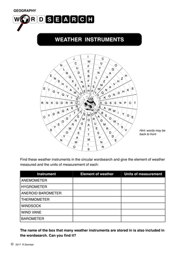
A circular word search (aka word maze) requiring students to find the main instruments used to measure weather elements. Also includes a table to identify the element of weather an instrument is used to measure and its unit of measurement. An answer key is provided on the second page for both the word search and the table. A useful worksheet to use a a lesson filler or extension work for students who complete the main task of a lesson more quickly that others.
Weather Crossword Puzzle
swintrekswintrek

Weather Crossword Puzzle

(0)
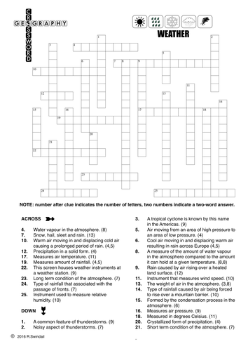
A crossword puzzle that tests student overall knowledge of weather. Perhaps useful at the end of a topic or series of lessons to revise work covered.
Weather Instruments GeoBingo
swintrekswintrek

Weather Instruments GeoBingo

(0)
Classic geography bingo game to reinforce students' understanding of weather instruments and the units of measurement associated with them.
European Countries Wordsearch and Mapping Exercise #1
swintrekswintrek

European Countries Wordsearch and Mapping Exercise #1

(0)
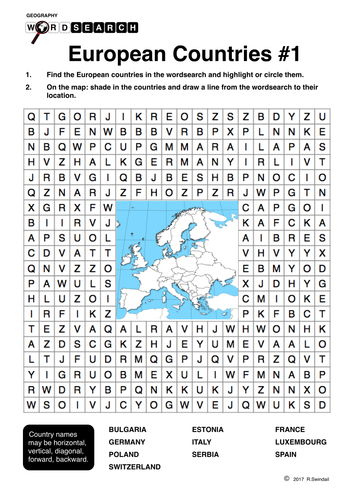
Students are required to find the names of 10 European countries on the grid and then locate them on the map of Europe at the centre of the grid. Also available as part of a bundle of three European country wordsearches. An answer key is provided on the second page.
European Wordsearch and Mapping Exercise Bundle
swintrekswintrek

European Wordsearch and Mapping Exercise Bundle

3 Resources
European countries in three sets of wordsearches and mapping exercises. Requires students to find 30 countries (10 in each exercise) and locate them in the map at the centre of the word search.
Australia's Capital Cities: word search and mapping exercise
swintrekswintrek

Australia's Capital Cities: word search and mapping exercise

(0)
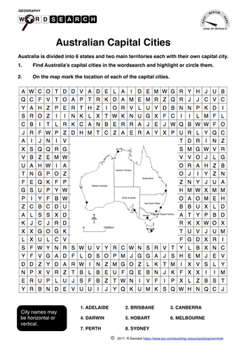
Wordsearches (a.k.a. word maze) are a fun way for your students to learn the capital cities of Australia. The wordsearch is coupled with a map that encourages your students not only to learn the names of the counties but also their location. The puzzles have three levels of difficulty: Easy - Medium - Hard. This will allow you to differentiate according to the abilities of students in your class. Each of the three puzzles has its own answer key. A large map (A4 size) is also provided in the file should you need to use a larger map for your students rather than the smaller one provided in each word search. Altogether there are 7 pages in this file: 3 word searches, 3 answer keys, 1 A4 sized map.
Counties of England: East Midlands - word search and mapping exercise
swintrekswintrek

Counties of England: East Midlands - word search and mapping exercise

(0)
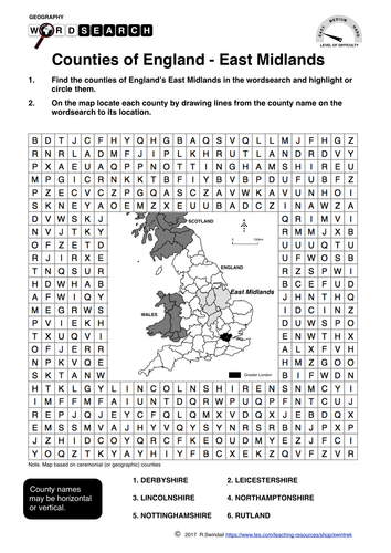
Wordsearches (a.k.a. word maze) are a fun way for your students to learn the counties of England’s East Midlands. The wordsearch is coupled with a map that encourages your students not only to learn the names of the counties but also their location. The puzzles have three levels of difficulty: Easy - Medium - Hard. This will allow you to differentiate according to the abilities of students in your class. Each of the three puzzles has its own answer key. A large map (A4 size) is also provided in the file should you need to use a larger map for your students rather than the smaller one provided in each word search. Altogether there are 7 pages in this file: 3 word searches, 3 answer keys, 1 A4 sized map.
Sulawesi Earthquake and Tsunami 2018 - worksheets
swintrekswintrek

Sulawesi Earthquake and Tsunami 2018 - worksheets

(0)
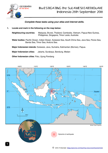
A four page worksheet focusing on the Sulawesi earthquake and tsunami on 28th September 2018 that helps develop student’s internet skills. Page 1 - simple mapping question to familiarise students with the geographic setting of Indonesia Page 2 - students to complete a fact file on Indonesia from internet research AND define basic terms associated with earthquakes as well as completing the labelling of an earthquake diagram Page 3 - a map of the earthquake area including tectonic plates - students to answer questions on the earthquake using the map and the other websites. Page 4 - students answer questions on the impact of the earthquake, the Indonesian government’s response and a question from the internet An answer key is provided for teachers.