Aeroplane Flight Bundle | Aerial Photos, Map Skills and Bird's Eye View | KS1 KS2 Geography
Resource Bundle






Resources on flight and seeing the world from above.
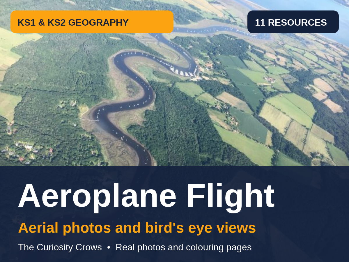
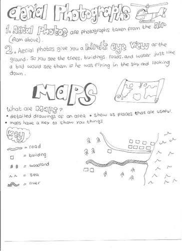
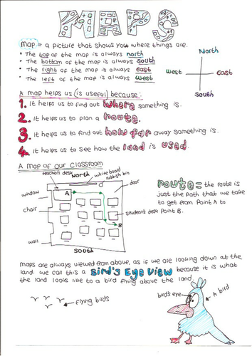
Includes aerial photographs of English coasts and rivers, and map skills sheets on scale, bird’s eye view, and natural and human features.
Ideal for geography map skills, transport topics and display.
Something went wrong, please try again later.
This resource hasn't been reviewed yet
To ensure quality for our reviews, only customers who have purchased this resource can review it
Report this resourceto let us know if it violates our terms and conditions.
Our customer service team will review your report and will be in touch.